Catalog Archive
Auction 129, Lot 405

"Antigue, Levee par Robert Baker, Arpenteur General de l'Isle Traduit de l'Anglais", Le Rouge, George Louis
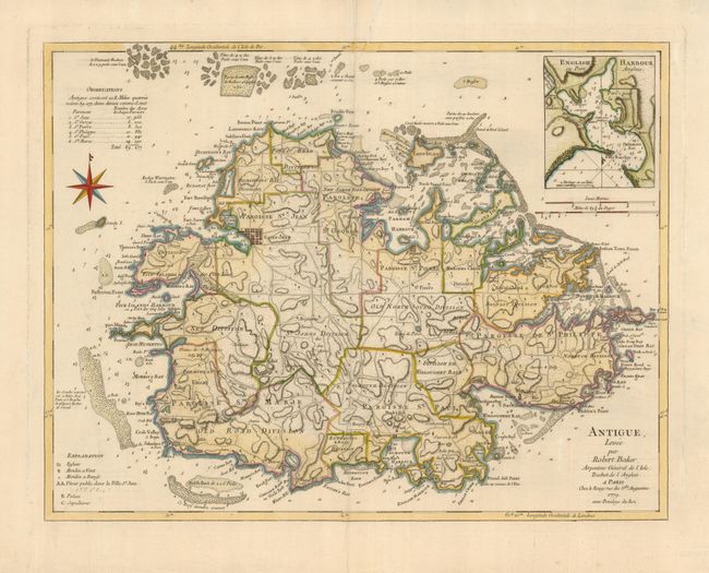
Subject: Antigua

Period: 1779 (dated)

Publication:

Color: Hand Color

Size:
23.5 x 18 inches
59.7 x 45.7 cm
Download High Resolution Image
(or just click on image to launch the Zoom viewer)

This is a very scarce map of the island of Antigua vividly portraying the terrain and numerous protective bays. The chart is a French issue of Thomas Jefferys'' map of 1775. Robert Baker was Surveyor General of the island and his four-sheet map of the island was published in 1748. The beautiful map shows parishes, plantations, churches, roads, mills, soundings, shoals, etc. A detailed plan of English Harbor is inset at top.

References:

Condition: A

There are some minor edge tears in the top margin, else fine.

Estimate: $700 - $800

Sold for: $500

Closed on 9/23/2009

Archived