Catalog Archive
Auction 129, Lot 367
"Carte de la Cote Occidentale d'Amerique Comprise Entre le Port de San Diego et le Golfe de Tehuantepec…", Depot de la Marine
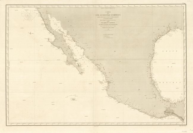
Subject: Mexico, California and Texas
Period: 1863 (dated)
Publication:
Color: Black & White
Size:
35.8 x 24 inches
90.9 x 61 cm
Download High Resolution Image
(or just click on image to launch the Zoom viewer)
(or just click on image to launch the Zoom viewer)