Subject: New York City
Period: 1899-1913 (dated)
Publication:
Color: Printed Color
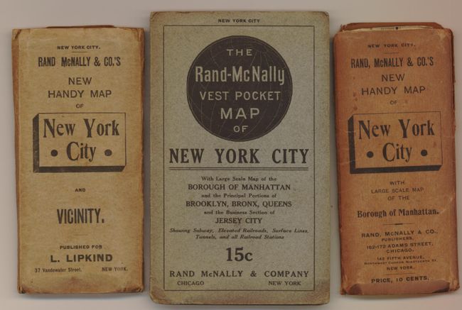
This lot is comprised of three highly detailed pocket maps.
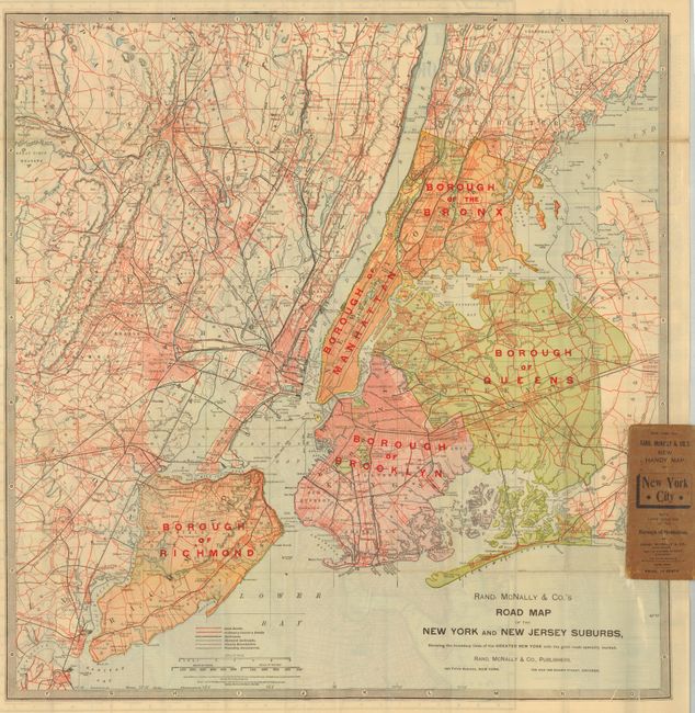
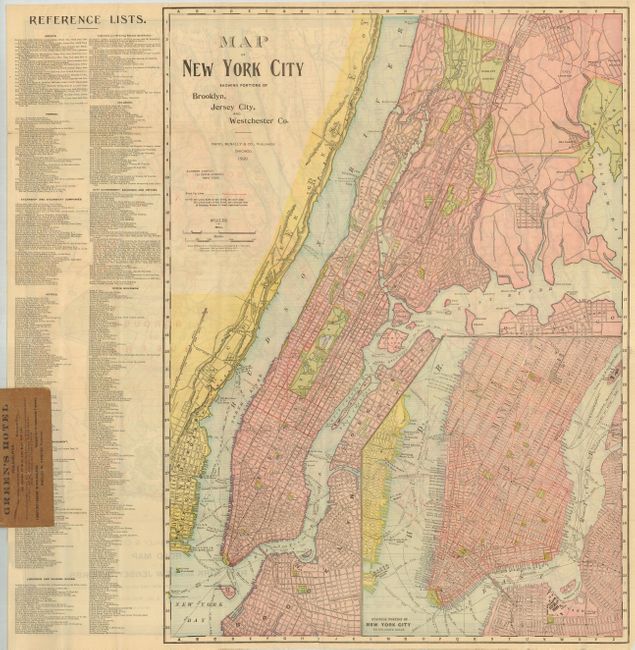
1) Road Map of the New York and New Jersey Suburbs, Showing the Boundary Lines of the Greater New York with the Good Roads Specially Marked. [verso] Map of New York City Showing Portions of Brooklyn, Jersey City, and Westchester Co., 1899, (18 x 25"), folds into wrappers 2.5 x 5.7", third cover separated and missing. Legend differentiates between "Good roads" and "Ordinary County Roads." From the Vest Pocket Map series. (B+).
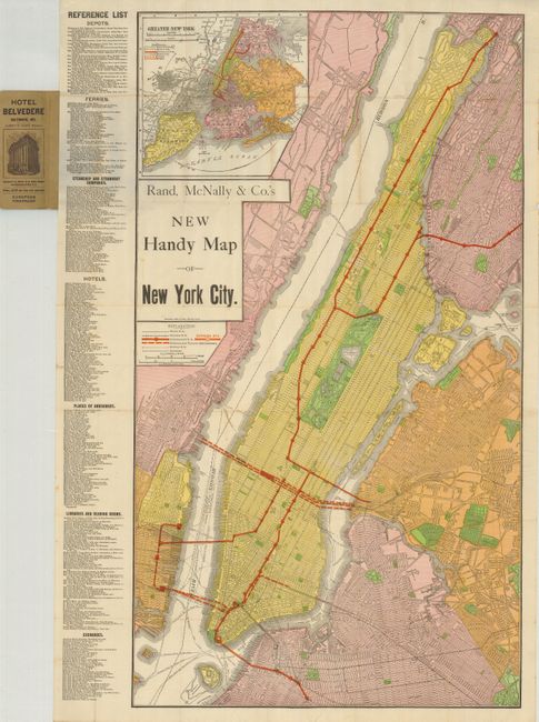
2) New Handy Map of New York City., 1909, (18.5 x 33.3"), folds into wrappers (2.5 x 5.7"), fold tears.
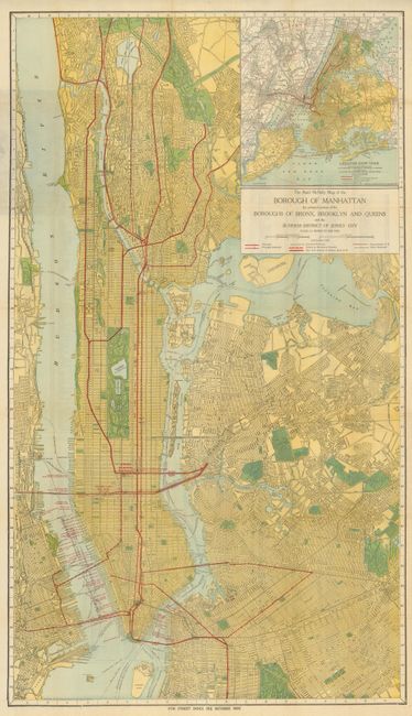
3) Map of the Borough of Manhattan the Principal Portions of the Boroughs of Bronx, Brooklyn and Queens and the Business District of Jersey City., 1913 (19.8 x 34.5"), street index on verso, folds into wrappers (4 x 6"), couple tears.
References:
Condition:
See individual descriptions.