Subject: Massachusetts
Period: 1928 (circa)
Publication:
Color: Printed Color
Size:
18.5 x 20 inches
47 x 50.8 cm
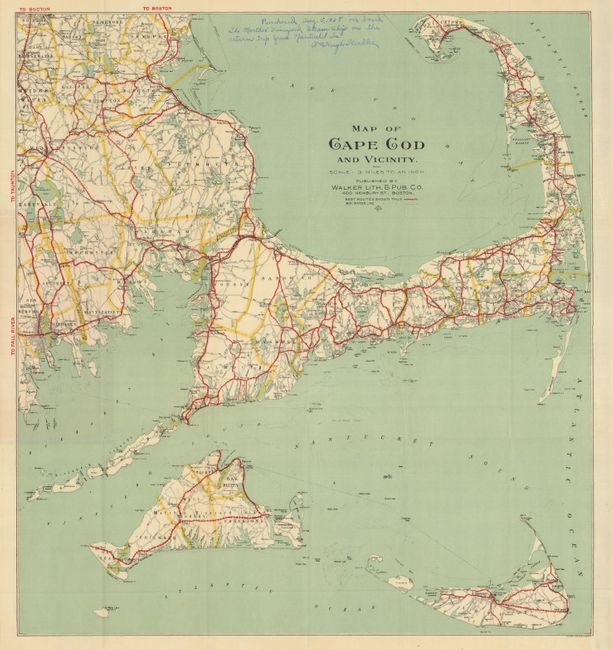
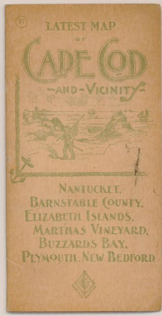
This pocket map focuses on Cape Cod but includes Nantucket Island, Martha's Vineyard and a portion of the coast to include Falhaven and New Bedford. Principally an automobile route map, the "Best Routes" are delineated in strong red overprinting. Lesser roads are highlighted with yellow overprinting. Published by Walker Lith. & Pub. Co., Boston. Folds into light brown pictorial paper covers titled "Latest Map of Cape Cod and Vicinity…" The back cover lists 37 "Automobile Maps" for sale by the firm.
References:
Condition: A
The map itself is fine with no flaws save a manuscript note in blank area by the original owner stating the map was purchased onboard the Martha's Vineyard Steamship on August 5, 1928. Covers are near fine with just a little edge toning.