Subject: Arizona
Period: 1907-20 (dated)
Publication:
Color: Printed Color
These two maps explain the rapid development from pre-statehood, with no existing automobile roads, into a state displaying a large network of roads in just over a decade.
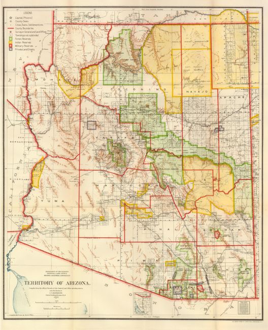
1) Territory of Arizona, General Land Office, 1907, (17 x 20"). This colorful map features great detail and describes the territory just five years before Arizona attained statehood. The map clearly shows Indian Reservations, Military Reservations (Fort Apache, Fort Grant, Fort Huachuca, and Fort Whipple) and Forest Reserves via different colors. A huge Grand Canyon Forest Reserve is shown and the new Petrified Forest National Monument (established in 1906) is located east of Holbrook. Details include watershed, mountains, railroads, wagon roads, private claims, unsurveyed townships, etc. Blank verso, folding as issued, fine (A+).
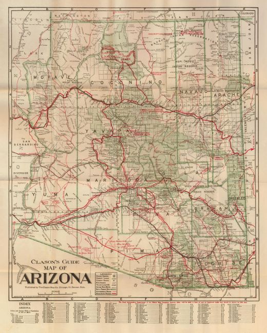
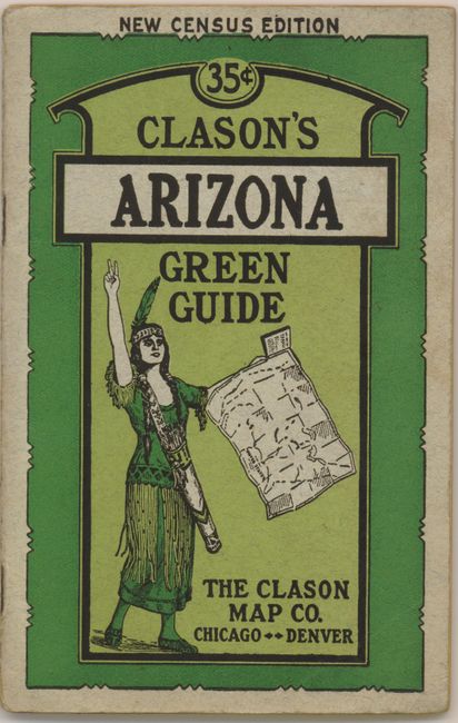
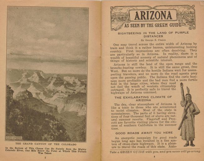
2) Clason's Guide Map of Arizona, Clason Map Company, circa 1920, (15 x 17"). This folding pocket map is complete with descriptive booklet, "Clason's Arizona Green Guide" (4 x 6.3"). The map delineates early Automobile Roads and Main Automobile Roads via different sized red overprinted line. The road network contains a remarkable number of roads and highways. The legend also locates the state capital (Phoenix), counties lines, county seats, railroads, rail trunk lines, Indian reservations, and National Forests. Below the map is a list of towns with populations: Phoenix had just 29,000 souls, a number that stayed small until air conditioning came into commercial use. The map shows Greenlee County, created from part of Graham County in 1909. Folds into paper covers with 32-page booklet "Showing all the Best Roads Clason's Arizona Green Guide…" which includes full-page city plans of Tucson and Phoenix. This scarce Clason issue is not dated but shows the Grand Canyon National Park (created 1919), but not the Navajo Bridge at Lee's Ferry which was opened in 1929. Blank verso. The booklet has some wear and small tears and is browned inside, the map is fine (A).
References:
Condition:
See individual descriptions.