Catalog Archive
Auction 129, Lot 158

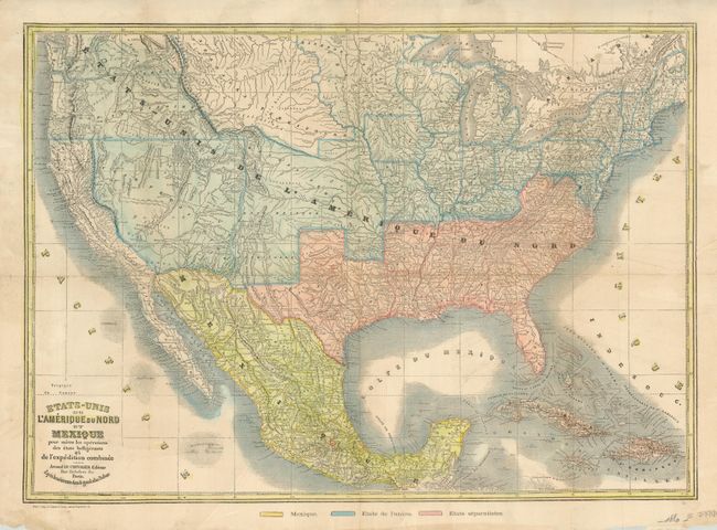
"Etats-Unis de l'Amerique du Nord et Mexique pour Suivre les Operations des Etats Belligerants et de l'Expedition Combinee", Le Chevalier, Armand

Subject: United States

Period: 1861 (circa)

Publication:

Color: Hand Color

Size:
24 x 17 inches
61 x 43.2 cm
Download High Resolution Image
(or just click on image to launch the Zoom viewer)

This rare, separately-issued French map illustrates the divisions of the United States during the Civil War with a color-key at bottom distinguishing Mexico, Etats de l'union (Union), and Etats separatistes (Confederacy). The map also features pre-Gadsden Purchase boundaries, with odd configurations for California and the large western territories of Washington, Oregon, a huge Utah, Kanzas, Nebraska, and New Mexico. The map is based on Dufour's Mexique Antilles, Etats-Unis… map from the Atlas Universel.

References:

Condition: B+

Issued folding, now flattened, with some old paper reinforcements on verso, and some minor extraneous folds in the map.

Estimate: $750 - $850

Sold for: $650

Closed on 9/23/2009

Archived