Subject: Reference Books
Period: 1956-2003 (published)
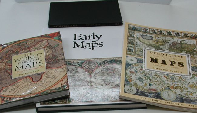
Publication:
Color: Printed Color
1) by Tony Campbell, 1981, New York. This publication contains an array of early maps, municipal plans, and sea charts from the 13th century to the 1850's. Each plate is accompanied by information on the cartographer and an explanation of the political developments and geographical discoveries that influenced the map's design. Hardbound in green cloth with gilt letters on spine and illustrated original dust-wrapper. 148 pp., 68 color plates, several foldouts. (12.3 x 15.3")
2) by Roderick Barron, 1989, New York. First Edition volume in the Poster Art Series, with 40 full color plates. (11 x 15")
3) by John Rennie Short, 2003, Buffalo. Introduction to cartography in the context of history. Short, a geography professor at the University of Maryland, Baltimore County, has compiled 200 photos, maps and diagrams, 224 pages. (8.5 x 11.3")
4) by Heather Child, 1956, London, New York. 96 pages, black and white illustrations. (7.5 x 10")
References:
Condition: A
All very good or fine.