Subject: Atlases
Period: 1882 (published)
Publication:
Color: Hand Color
Size:
13 x 15.5 inches
33 x 39.4 cm
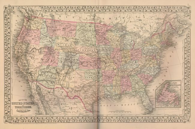
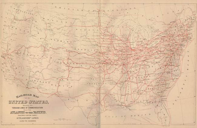
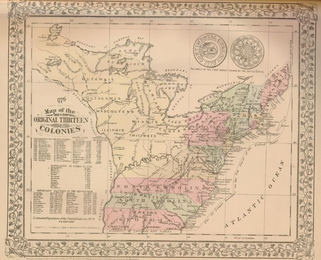
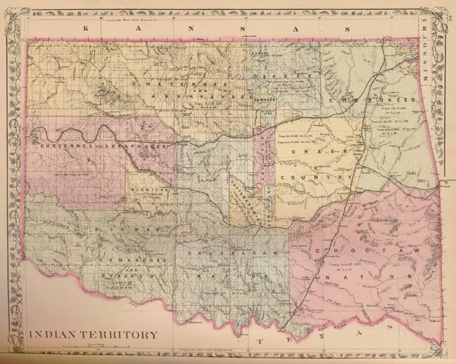
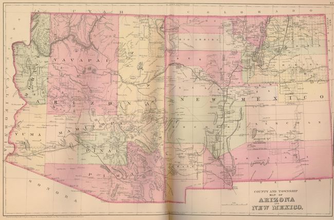
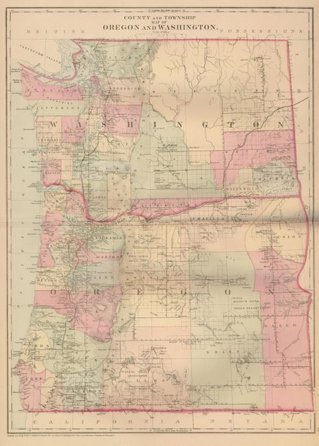
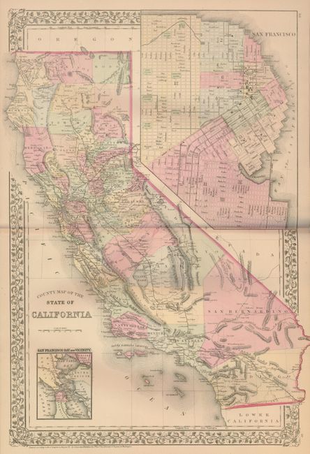
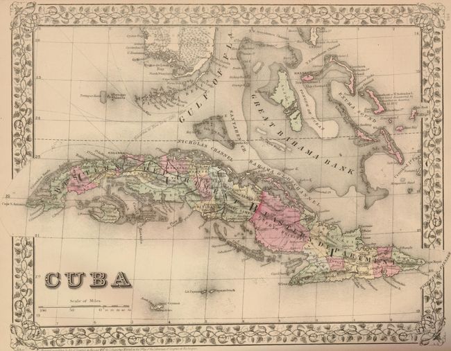
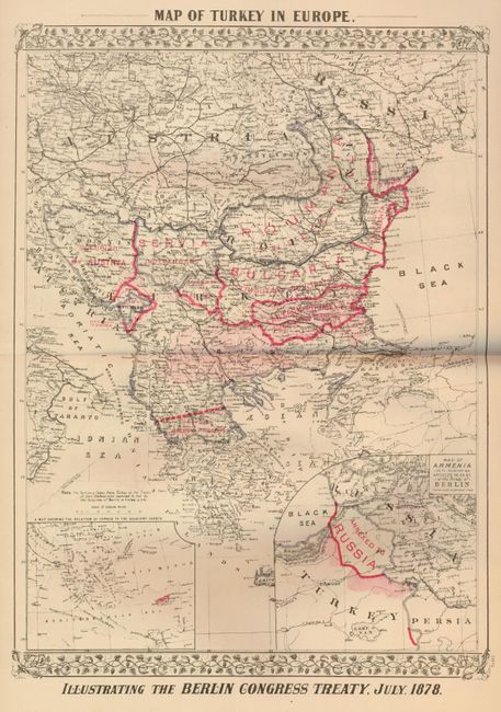
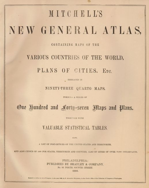
This complete atlas contains 147 maps and plans on 72 sheets, most surrounded by Mitchell's trademark grapevine border and dated 1882. Eighty-three of the sheets are related to the United States, with individual states, regions and city plans. This example includes the Railroad Map of the United States… and a charming Map of the Original Thirteen Colonies that has engraved examples of the "first money coined by the United States." A spectacular double-page plan of Chicago includes a street index in the lower margin. Other maps of interest include the double page "County and Township Map of Arizona and New Mexico and County, the Township Map of Dakota, and fine double page maps of Texas and California. Small folio. Hardbound in original brown cloth with quarter calf spine and tips and gilt title on front and gilt tooling on spine.
References:
Condition: B+
The maps are beautiful with fine original color and crisp impressions, varying from very good to fine. Covers are worn and bumped. Free end paper at front and back with some insect damage, also to last page of index. Contents near fine.