Catalog Archive
Auction 128, Lot 895
"Carte des Cotes de l'Amerique et de l'Asie depuis la Californie jusqu a Macao", La Perouse, Comte Jean F. Galoup, de
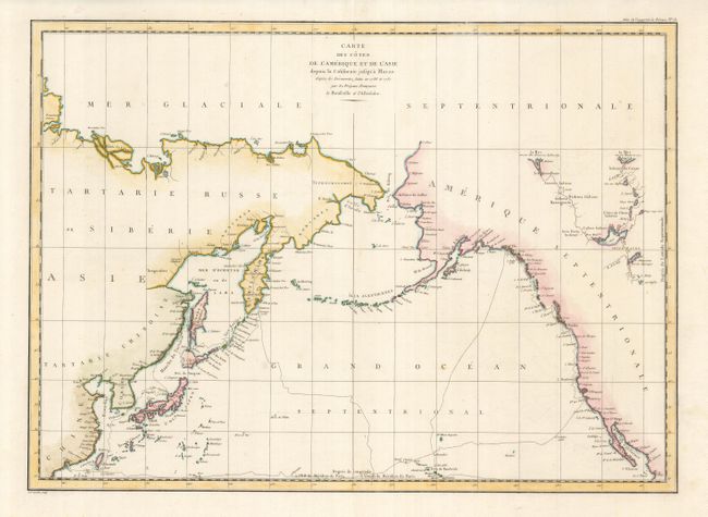
Subject: North Pacific Ocean
Period: 1797 (published)
Publication: Atlas du Voyage de la Perouse
Color: Hand Color
Size:
27 x 19.8 inches
68.6 x 50.3 cm
Download High Resolution Image
(or just click on image to launch the Zoom viewer)
(or just click on image to launch the Zoom viewer)