Catalog Archive
Auction 128, Lot 856

"La Presqu'Isle de l'Inde au dela du Gange, avec l'Arcihpel des Indes. Partie Orientale", Bonne, Rigobert

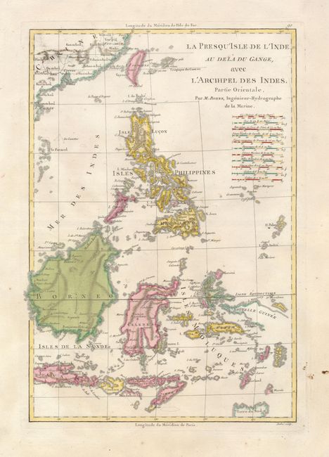
Subject: Philippines, East Indies

Period: 1781 (circa)

Publication: Atlas Portatif

Color: Hand Color

Size:
9.5 x 15.5 inches
24.1 x 39.4 cm
Download High Resolution Image
(or just click on image to launch the Zoom viewer)

This map of the East Indies is focused on the islands of Java, Borneo, the Philippines, Celebes, and the lesser islands of the archipelago. The northern tip of Australia is shown at lower right (Terre du Sud) and the coast of China with Formosa is at top. Eleven different mileage scales are noted below the title. Engraved by Andre.

References:

Condition: A

There is some surface soil in the blank margins, else fine.

Estimate: $140 - $180

Sold for: $100

Closed on 5/20/2009

Archived