Catalog Archive
Auction 128, Lot 776

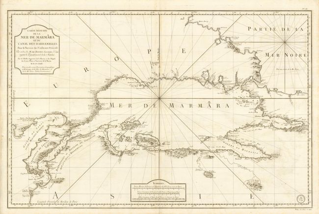
"Carte Reduite de la Mer de Marmara et du Canal des Dardanelles…", Bellin, Jacques Nicolas

Subject: Turkey

Period: 1772 (dated)

Publication: Hydrographie Francoise

Color: Black & White

Size:
35.5 x 23 inches
90.2 x 58.4 cm
Download High Resolution Image
(or just click on image to launch the Zoom viewer)

Large-scale map of the strategic waterway between the Aegean and the Black Sea and between Europe and Asia. The chart was beautifully engraved by Croisey to show the coastal features, soundings, sailing hazards, anchorages, etc. The seal of the Dept de la Marine is in the lower right corner with Prix Un Franc et demi.

References: Zacharakis #173.

Condition: A

Fine, sturdy paper and a dark impression with some minor offsetting and surface soil that erases easily.

Estimate: $375 - $500

Sold for: $475

Closed on 5/20/2009

Archived