Catalog Archive
Auction 128, Lot 766
"[Lot of 2] A New & Accurate Map of Turky in Asia, Arabia &c… [and] A New & Accurate Map of Turky in Europe, with the adjacent Countries of Hungary, Little Tartary &c.", Bowen, Emanuel
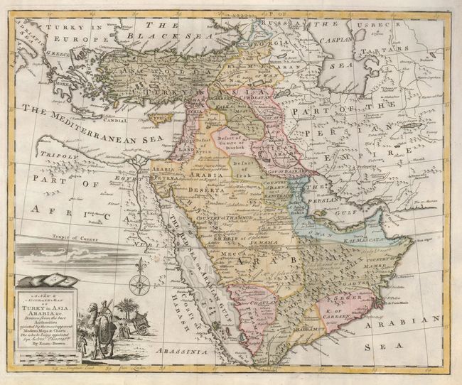
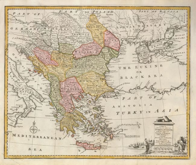
Subject: Middle East, Turkish Empire
Period: 1757 (circa)
Publication: A Complete System of Geography
Color: Hand Color
Size:
16.5 x 13.7 inches
41.9 x 34.8 cm
Download High Resolution Image
(or just click on image to launch the Zoom viewer)
(or just click on image to launch the Zoom viewer)