Catalog Archive
Auction 128, Lot 682

"A New and Accurate Map of the Kingdom of Hungary and Principality of Transilvania with the Bordering Countries…", Bowen, Emanuel
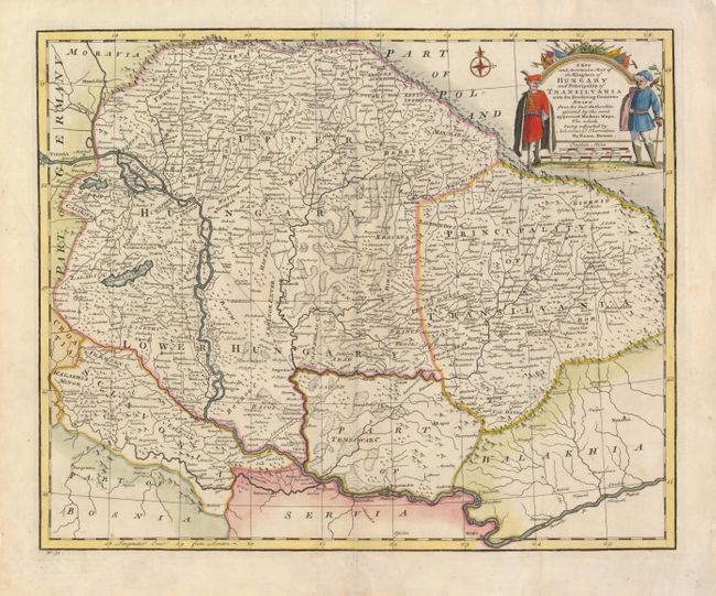
Subject: Hungary

Period: 1730 (circa)

Publication:

Color: Hand Color

Size:
16.5 x 13.5 inches
41.9 x 34.3 cm
Download High Resolution Image
(or just click on image to launch the Zoom viewer)

This finely engraved map of Hungary extends to Belgrade and part of Romania. The map is filled with detail and notations and shows an extensive systems of roads. This is an early edition prior to the cession of the Banat of Temeswar to the House of Austria in 1739. The decorative title cartouche features two military officers.

References:

Condition: A

Some marginal toning and small repairs on paper edges.

Estimate: $200 - $240

Unsold

Closed on 5/20/2009

Archived