Catalog Archive
Auction 128, Lot 455

"Plan de l'sle de la Grenade…", Jefferys, Thomas

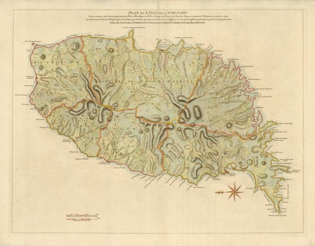
Subject: Lesser Antilles, Grenada

Period: 1763 (dated)

Publication: A general topography of North America and the West Indies

Color: Hand Color

Size:
24.8 x 19 inches
63 x 48.3 cm
Download High Resolution Image
(or just click on image to launch the Zoom viewer)

Large-scale topographical map of this mountainous island in the Windward Islands with great detail of the roads, plantations, villages, ports and fortifications. The French and British struggled for dominance of the island through much of the 18th century. It was captured by the British in 1762, during the Seven Years' War, and formally ceded to Great Britain in 1763 through the Treaty of Paris. The British governor of Grenada and the Windward Islands, George Scott, ordered the survey shown on this map.

References: Phillips (M) p. 303.

Condition: A

A marginal fold separation at top has been repaired with tissue on verso.

Estimate: $600 - $700

Sold for: $450

Closed on 5/20/2009

Archived