Catalog Archive
Auction 128, Lot 362

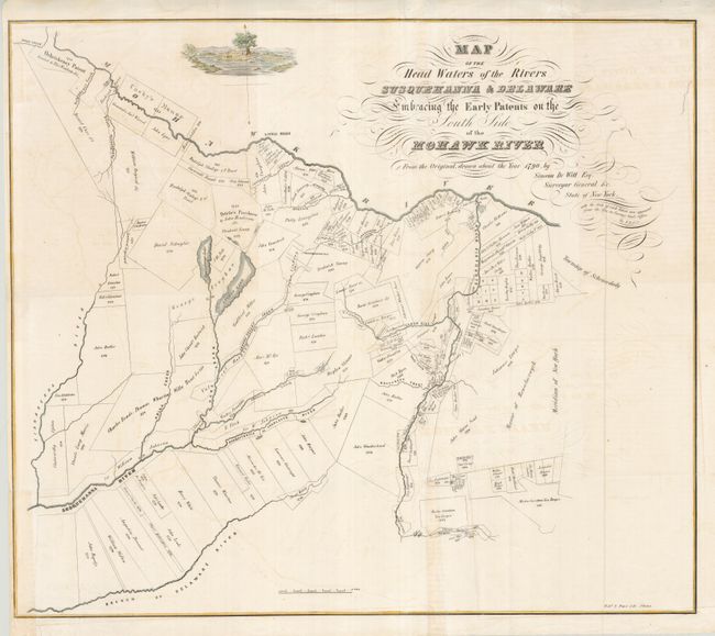
"Map of the Head Waters of the Rivers Susquehanna & Delaware Embracing the Early Patents on the South Side of the Mohawk River", Pease Lithography

Subject: New York

Period: 1850 (circa)

Publication: The Documentary History of the State of New York

Color: Hand Color

Size:
21.7 x 19.6 inches
55.1 x 49.8 cm
Download High Resolution Image
(or just click on image to launch the Zoom viewer)

Detailed land grant map of regions south of the Mohawk and east of the Tianaderha Rivers, showing the original grants with owner's names and dates. The map was drawn from a map by Simeon de Witt, Surveyor General of the State of New York in about 1790. A nice landscape vignette and elegant swash letter title complete the composition.

References:

Condition: B+

Issued folded, now flattened with some fold intersections reinforced on verso with tissue. A small tear entering the neatline at bottom left has been repaired with tissue. There is a bit of faint offsetting.

Estimate: $120 - $160

Unsold

Closed on 5/20/2009

Archived