Catalog Archive
Auction 128, Lot 360

"Map of the County of Allegany", Burr, David H.
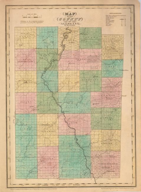
Subject: New York

Period: 1829 (dated)

Publication: An Atlas of the State of New York

Color: Hand Color

Size:
13.8 x 19.5 inches
35.1 x 49.5 cm
Download High Resolution Image
(or just click on image to launch the Zoom viewer)

This is an important map from the first individual state atlas published in the United States. It provides exquisite detail of each township and shows the progress of the surveys. It also identifies stage and county roads, villages, flour and saw mills, forges, manufactories and churches. David Burr's atlas of New York was the second atlas of an individual state ever published; only Robert Mills 1825 Atlas of the State of South Carolina preceded it. The map was engraved by Rawdon Clark & Co. Albany & Rawdon, Wright & Co. N.Y.

References: Ristow, pp. 103-106.

Condition: B+

Lightly toned, with fine original color.

Estimate: $180 - $220

Unsold

Closed on 5/20/2009

Archived