Subject: Georgia
Period: 1876 (dated)
Publication:
Color: Hand Color
Size:
29 x 33 inches
73.7 x 83.8 cm
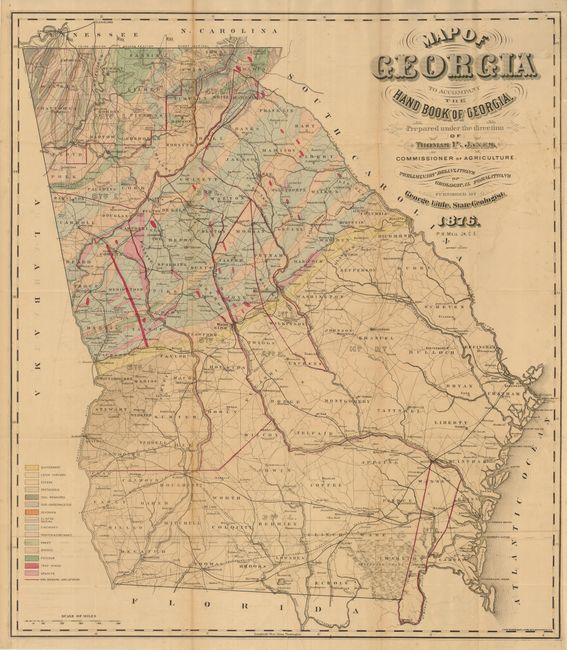
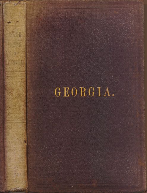
This scarce map by the State Geologist is complete with its original "Hand-Book of the State of Georgia Accompanied by a Geological Map of the State. Prepared under the direction of Thomas P. Janes, Commissioner of Agriculture of the State of Georgia." The folding map includes the entire state with sixteen different geological structures indicated by hand color in the upper 1/3 of the state. The map holds importance as the first official geological map issued by the State. An earlier geological map derived largely from Lyell’s 1845 US geological map was issued with the privately printed "Statistics of the State of Georgia" in 1849 (Marcou 548). This scarce reconstruction-era publication sought to encourage repopulation and redevelopment of Georgia following the devastating effects of the Civil War with effusive descriptions of Georgia’s many natural resources and cultural advantages. Of Little’s work in this report, Socolow, in "The State Geological Surveys. A History," remarks that "As far as is known, this is the first comprehensive attempt to publish the geology of Georgia." Little’s geological map is unlisted in Marcou (who can be excused for missing some of the more obscure geological maps published in America, but missing an important one by a State Geologist is surprising especially considering that Smith’s smaller and less impressive Geological Map of Alabama published in "Hand-Book of Alabama," 1878, is listed). First edition, Atlanta, octavo, vii, 256 pp. with large hand-colored lithograph map in rear sleeve. Original plum-colored cloth covers with printed presentation slip on front pastedown "Col. Carey W. Styles…With Compliments of Thomas P. Janes" and old stamp on front endpaper.
References:
Condition: B
The map is folding as issued with a little offsetting visible in blank areas. Some fold splits and intersection splits closed on verso. The covers have sunned spine, rubbed with a little soiling. State Department of Agriculture stamp, 1877, on front free paper. Text contents are very good.