Catalog Archive
Auction 128, Lot 256

"Carte de la Nouvelle Georgie", Bellin, Jacques Nicolas

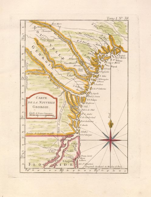
Subject: Colonial Southeast

Period: 1764 (published)

Publication: Le Petit Atlas Maritime

Color: Hand Color

Size:
5.7 x 8.2 inches
14.5 x 20.8 cm
Download High Resolution Image
(or just click on image to launch the Zoom viewer)

This uncommon small map depicts the coastline from St. Augustine to St. Helena Sound and inland as far as Augusta. The boundary between Georgia and Florida is shown as of 1738. There are only a few settlements and one road connecting Augusta, Savannah and St. Augustine. Simple title block and fine fleur-de-lis topped compass rose are the only embellishments.

References: Cumming (SE) #344; Phillips (A) #3508-38; Tooley (MCC-96) #849.

Condition: A

There is a tiny worm hole in the blank margin, well away from image. Remnants of brown paper hinges on verso.

Estimate: $400 - $500

Sold for: $450

Closed on 5/20/2009

Archived