Catalog Archive
Auction 128, Lot 249

"Mississippi Territory", Carey, Mathew

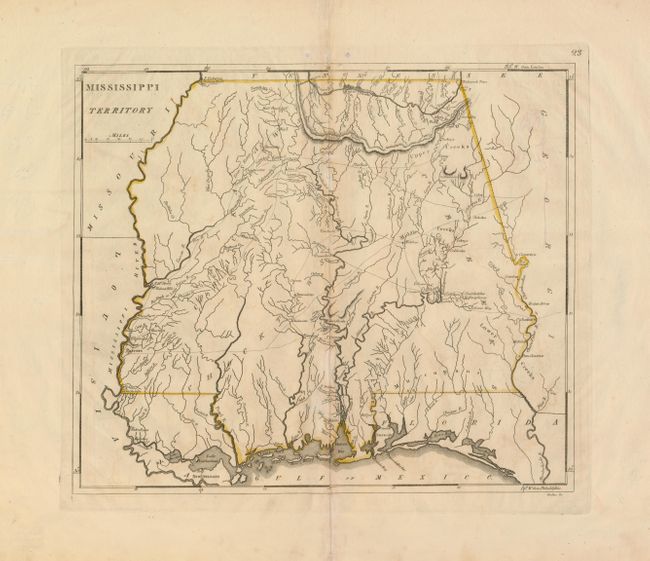
Subject: Southern United States - Mississippi

Period: 1814 (circa)

Publication: General Atlas

Color: Hand Color

Size:
13.8 x 11.8 inches
35.1 x 30 cm
Download High Resolution Image
(or just click on image to launch the Zoom viewer)

This early map of Mississippi Territory covers the region of present-day Mississippi and Alabama. At the extreme northwest corner of the map is Fort Pickering on Chickasaw Bluff, near the future site of Memphis. Numerous Indian tribes and villages are located along with a few early settlements and forts. Indian trails and early roads are shown.

References:

Condition: B+

Original outline color with some toning on centerfold. There are a couple minor tears in the wide margins, well away from the map.

Estimate: $550 - $700

Sold for: $850

Closed on 5/20/2009

Archived