Subject: United States
Period: 1855 (published)
Publication: Resume Explicatif d'une Carte Geologique des Provinces Anglaises…
Color: Printed Color
Size:
23 x 16.3 inches
58.4 x 41.4 cm
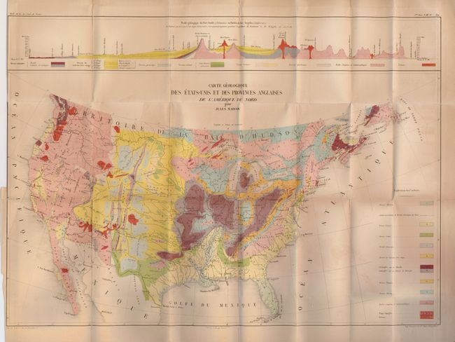
This colorful map shows the United States and the Baja and identifies by color twelve different geological structures. Along the top is a color geological profile of the region from Ft. Smith to Los Angeles along the route taken by Whipple’s expedition during the Pacific Railroad survey. Copper trap is still shown for the southeast trending Wind River Mountains (as in 1853), a cartographic error that would persist on some maps for the next year or so (Blevins).
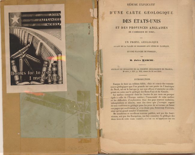
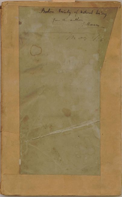
The map is with the original report "Resume Explicatif d’une Carte Geologique des Provinces Anglaises de L’Amerique du Nord...Bulletin du la Societe Geologique de France, Volume XII." French text, first edition, octavo, 124 pp. with uncut pages. With folding lithograph plate of fossils and large folding chromolithograph map. This is a presentation copy with "Boston Society of Natural History from the author J. Marcou" written in old ink at top of front cover. The art deco block-printed bookplate of John Alexander Norris carries Chaucer's "Books for to rede, I me delyte." Overall, considering the condition, this is still a good example of this very scarce map.
References: Marcou #49.
Condition: C+
The map is disbound with short binding trim tear and reinforcing paper tape on fold intersections and edge splits. One long unclosed split at lower left. Binding is crudely accomplished with brown paper edging glued down. Contents are evenly toned with the first few pages loose or chipped.