Subject: Title Pages
Period: 1802-74 (published)
Publication:
Color: Black & White
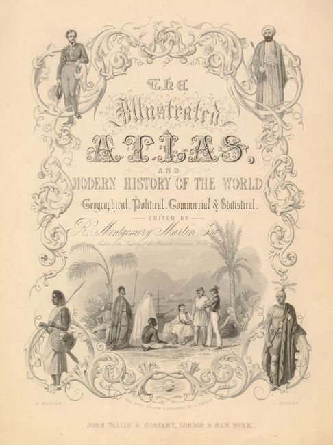
1) The Illustrated Atlas, and Modern History of the World…, John Tallis, London, circa 1850 (9 x 12.8")
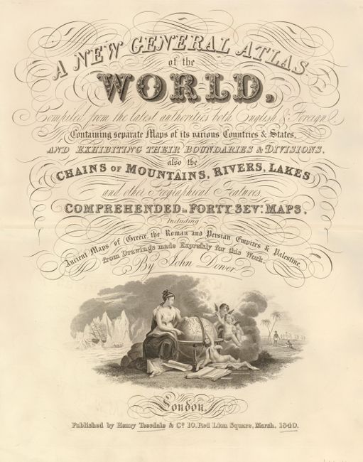
2) A New General Atlas of the World…, Henry Teesdale, London, 1840. Complete with double-page contents listing 47 maps (12.8 x 16.5") Scotch tape on verso.
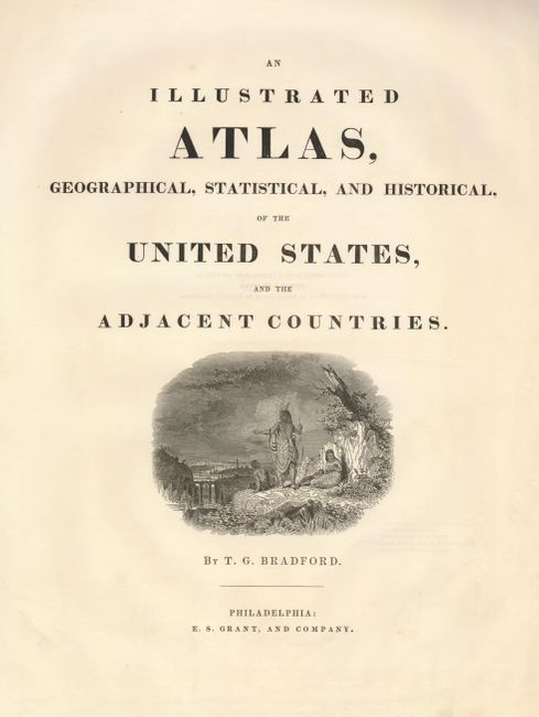
3) An Illustrated Atlas, Geographical, Statistical, and Historical, of the United States, and the Adjacent Countries, Thomas Gamaliel Bradford, Philadelphia, 1838 (15.3 x 19.2")
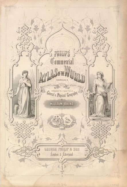
4) Philips' Commercial Atlas of the World Comprising a Series of Maps & Charts…, George Philip & Son, London & Liverpool (13 x 19") Damp stained.
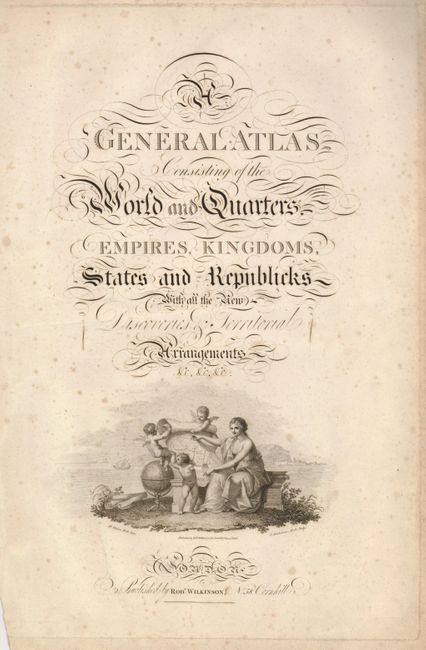
5) A General Atlas Consisting of the World and Quarters…, Robert Wilkinson, London, 1802 (17.5 x 10.5") Light scattered foxing.
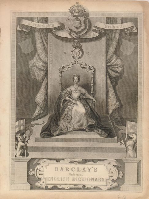
6) Barclay's Universal English Dictionary, George Virtue, London, circa 1848 (7.3 x 10.3") Edges toned with some marginal tears.
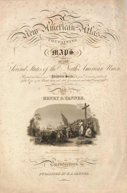
7) A New American Atlas Containing Maps of the Several States of the North American Union, Henry Schenck Tanner, Philadelphia, 1823 (15.3 x 24") Scattered foxing.
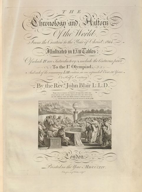
8) The Chronology and History of the World from the Creation to the Year of Christ, 1814., Rev. John Blair, London, 1814. (8.5 x 13.5)
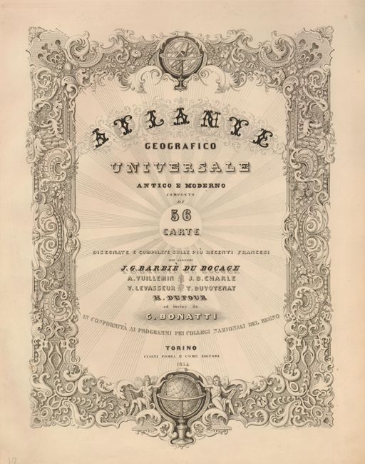
9) Atlante Geografico Universale Antico e Moderno, Henri Dufour, 1854 (9 x 12.3")
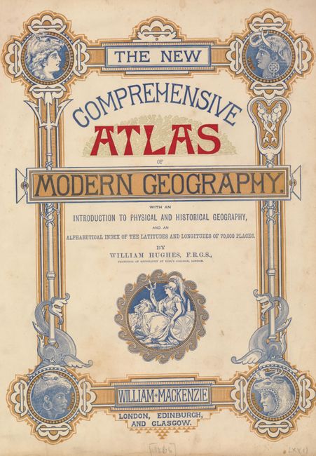
10) The New Comprehensive Atlas of Modern Geography, William Hughes, London, circa 1866 (9.8 x 13.3") Printed color.
11) Cary's New Universal Atlas; Containing Separate Maps of all the Kingdoms, States, and Countries, throughout the World, John Cary, London, 1808 (10.3 x 8.3") Damp stained in bottom margin.
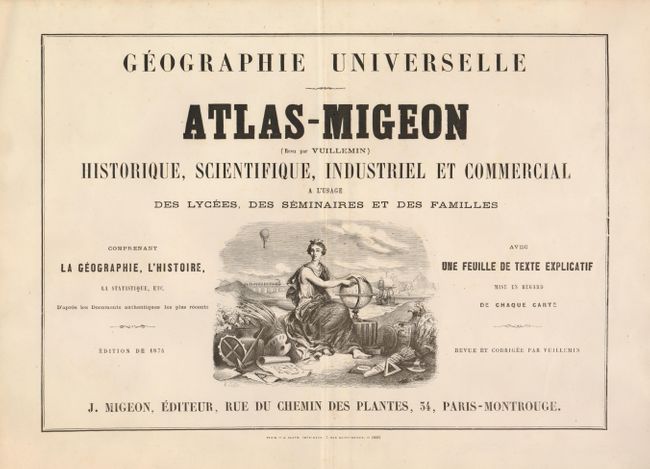
12) Geographie Universelle Atlas-Migeon Historique, Scientifique, Industriel et Commercial, J. Migeon, Paris, 1874 (15.8 x 11")
13) Atlas Universel de Geographie Physique, Politique et Historique, Ancienne et Moderne., Adrien Hubert Brue, Paris, 1822 (9.8 x 15")
14) The Illustrated Atlas, and Modern History of the World…, John Tallis, London, circa 1850 (9 x 12.8") Minor scattered foxing.
15) Gilbert's Modern Atlas of the Earth/i>, Robert Mudie, London, circa 1840 (9 x 11.8")
16) Black's General Atlas, Adam & Charles Black, Edinburgh, 1844 (10.3 x 14.5")
17) Black's General Atlas, Adam & Charles Black, Edinburgh, 1840 (10.5 x 14.5")
18) The National Atlas of Historical, Commercial, and Political Geography…, William Blackwood & Son, Edinburgh, 1849 (10 x 16.5") Some minor tears at binding side.
19) The London Atlas of Universal Geography…, John Arrowsmith, London, 1835 (12.3 x 19")
20) A New General Atlas, Consisting of a Series of Geographical Designs…, John Thomson, Edinburgh, 1828 (15 x 19")
21) A Complete Historical, Chronological, and Geographical American Atlas…, Carey & Lea, Philadelphia, 1823 (10 x 17")
22) Atlas Classique Elementaire des Cinq Parties du Monde…, J. Andriveau-Goujon, Paris, 1836 (9.8 x 14.3")
23) Laurie and Whittle's Improved Coasting Pilot…, Laurie & Whittle, London, 1809 (13 x 20") Tear at bottom.
References:
Condition:
Condition varies from good to fine with noticeable defects noted in the description.