Subject: Atlases
Period: 1755 (circa)
Publication:
Color: Hand Color
Size:
6 x 4.5 inches
15.2 x 11.4 cm
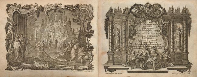
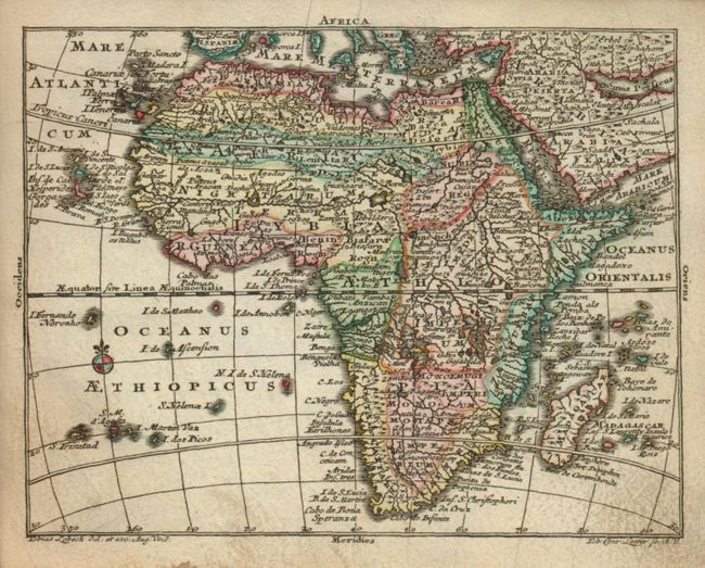
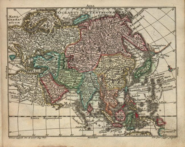
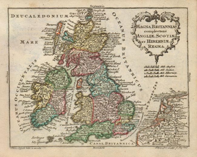
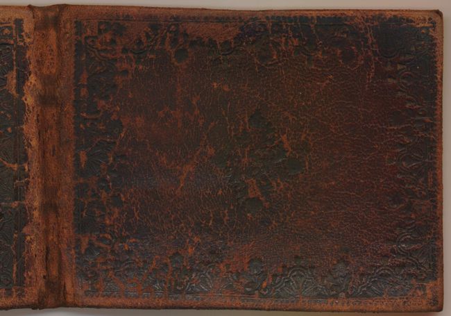
Fine pocket atlas with decorative maps in full original color. It opens with an allegorical frontispiece, followed by a title page in an architectural cartouche, both drawn by Gottfried Eichler, junior. The maps include the celestial and terrestrial hemispheres, the continents, and detailed maps of western and eastern Europe. Most maps are embellished with a fine title cartouche. The maps are followed by a list of maps and a Geographie (72 pp.) printed for Lobeck by Johann Michael Wagner. This atlas was a collaborative publication between Tobias Conrad Lotter and Tobias Lobeck, first published in 1747 with an almanac. The atlas remained in use for many years, with the maps reprinted and with new maps added, but the title page continued to report 29 maps. Original embossed calf binding. The maps present are:
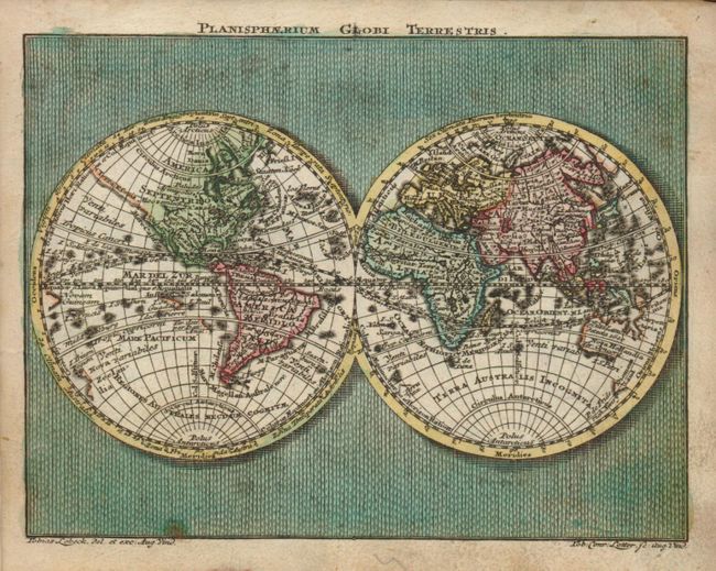
1) Planisphaerium Globi Terrestris
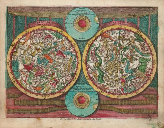
2) Hemisphaerium Boreali [and] Hemisphaeriusm Australe
3) Europa
4) Asia
5) Africa
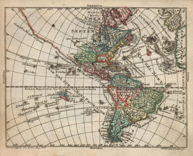
6) America
7) Regnorum Hispaniae et Portugalliae Tabula generalis
8) Totius Regn. Galliae sive Franciae Tabula
9) Nova Totius Italiae cum adjacentibus Maroribus et Minoribus Insulis
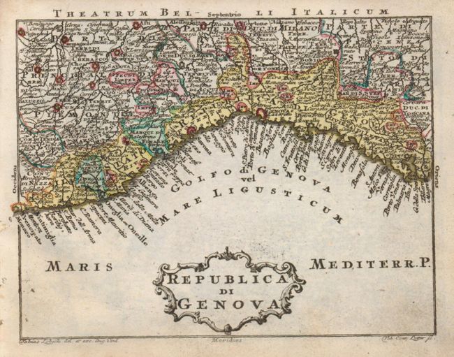
10) Republic di Genova
11) Status Ecclesiastici Magni que Ducatus Florentini Tabula
12) Magna Britannia complectens Angliae, Scotiae, et Hiberniae Regna
13) Tabula Gener. Totius Belgii qua Provinciae XVII Infer. Germaniae olim sub S.R.I. Circula Burgundiae
14) Germania Inferior
15) Circuli Germaniae
16) Cercle d'Autriche
17) Cercles de Baviere, de Suabe, de Franconie…
18) Vereinigte Niederlande, Spanische Niederlande, Herzogt. Brabant, Herzogt. Luxemburg, Graefsch. Flandern
19) Cercle de Saxonie…
20) Boheme, Morovia, & Saxonie, Lusace, Silesie…
21) Circuli Supe Saxoniae Pars Meridionalis…
22) Pars Meridionalis Circuli Saxoniae Superioris
23) Tabula Circubus Saxoniae Inferioris…
25) Circuli Thuringiae I. Pars
26) Circuli Saxoniae Inferioris In Omnes Suos Status et Principatus II Pars
27) Bohemiae Regnum in Circulos suos divisii
28) Poloniae Regnum, Ducatusq Magnae Lithuaniae; Imperium Russicum omnisque Tartaria
29) Regni Hungariae Tabula Generalis
30) Tabula Dunabii Graeciae et Archipelagi.
Following the maps the text pages are "Index mapparum Geograhicarum," a second title page "Kurzgesasste Geographie, in sich haltend einen aneinander hangenden Entwurf…Sack-Atlas…Tobias Lobeck…" This text is numbered 72 pages, but is lacking pages 45-48, which were not bound in. The atlas' collation does not, as often found, exactly match the list given on the Index, which lists only 29 maps. A lovely example of this scarce atlas.
References:
Condition: B+
Maps vary very good to fine with just a couple B+ due to a little soiling. Text pages have occasional scattered foxing. Leather on covers is worn and showing small cracking patterns. Spine is intact but heavily rubbed. Contents tight. Second blank end paper with prior owner's name in ink and his book stamp.