Subject: Atlases
Period: 1672 (dated)
Publication:
Color: Black & White
Size:
3.3 x 5.5 inches
8.4 x 14 cm
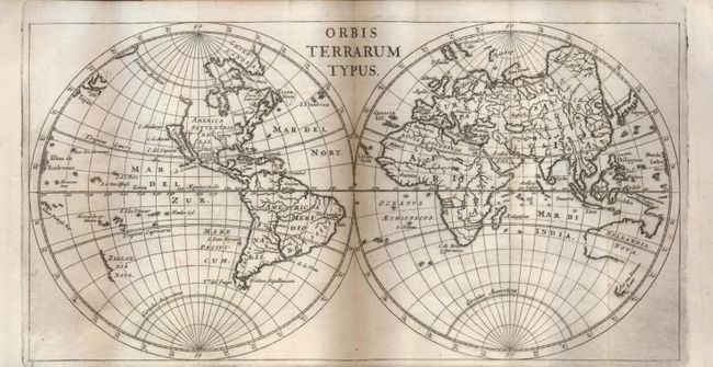
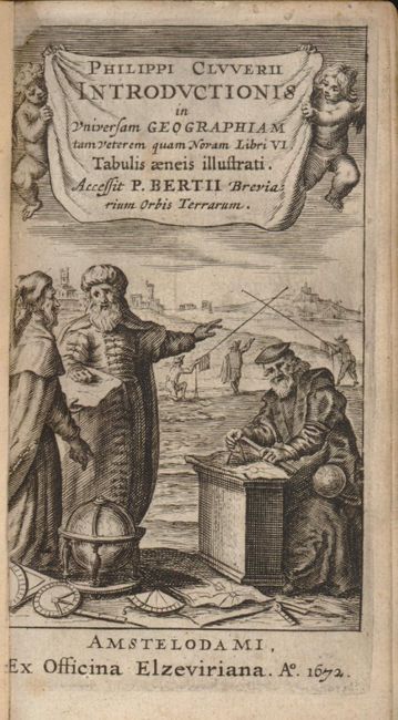
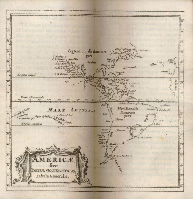
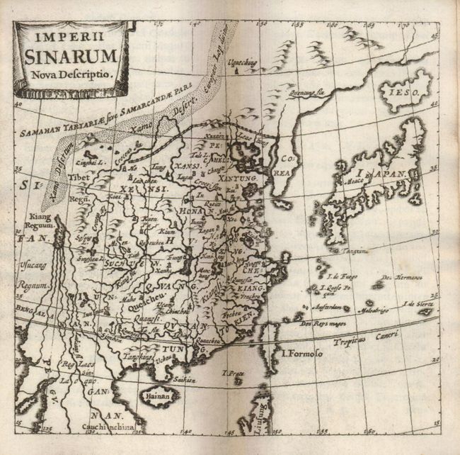
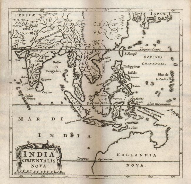
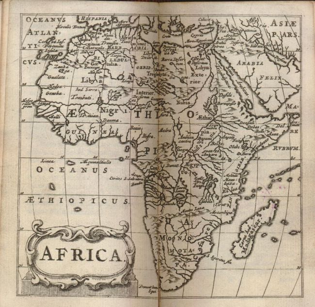
Fine example of the standard geographical text-book of the seventeenth century, by the father of modern historical geography. This complete example has forty maps, more than most editions. The Introductionis was published numerous times between 1624 and 1729 with each successive edition becoming more elaborate and the later editions including finely engraved maps. About half the maps are classical ones derived from Ortleius' Paregon. The world map shows California as an island. This edition was published by Daniel Elzevir.
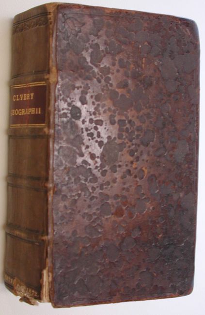
24mo, engraved title page, [xx], 388pp, 2 folding tables, 40 double page folding maps, table of Roman Emperors and index [79pp]. Original full calf binding with raised embossed bands and title on spine in red leather label. Province: Charles Bostock L.L.D. Waverly Abbey.
References: King (1st ed.) p. 186.
Condition: A
Contents are near fine, clean and bright. Leather covers with some abrasion to covers but spine in very good condition with just a small chip missing at bottom. Contents tight less one signature starting. Original owner's book plate inside cover and some old manuscript ink notations on verso of title page and at top of first page of list of contents. An small oval blue ink stamp on a few pages and on the back of a few maps.