Subject: Central Europe
Period: 1756-78 (published)
Publication: London Magazine
Color: Black & White
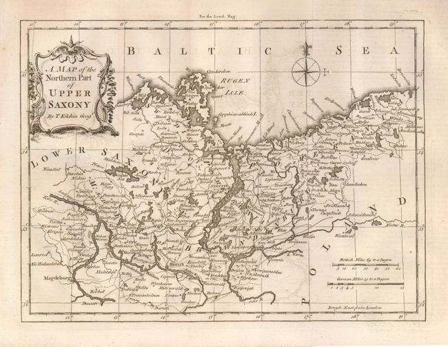
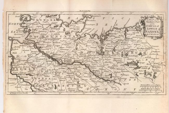
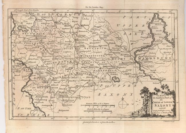
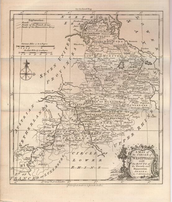
This is a fine set of maps covering much of Central Europe with an emphasis on the German Empire. The maps were issued in a series from 1756 to 1758 illustrating the beginning of the Seven Years War, and in 1778 (A Map of the Seat of War in Bavaria and Bohemia) when war had once again broken out in The War of Bavarian Succession. The London Magazine was one of the major British periodicals of the 18th century and contained a great many finely engraved maps illustrating the important events of the period.
1) A Map of the Northern Part of Upper Saxony (9.3 x 6.8").
2) A Map of the Northern Part of the Circle of Lower Saxony (10.3 x 5.3")
3) A Map of the Southern Part of the Circle of Lower Saxony which may perhaps become a Seat of War (10 x 6.5")
4) A Map of the Circle of Westphalia with the Routs of the French and Hanoverian Armies (7.5 x 8.5")
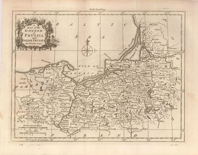
5) A Map of the Kingdom of Prussia and Polish Prussia (9.3 x 7")
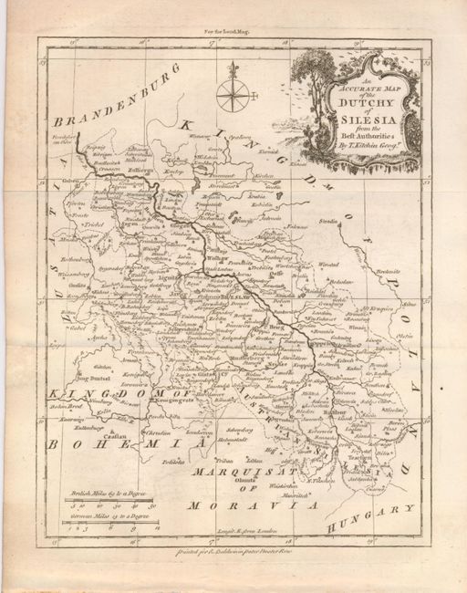
6) An Accurate Map of the Duchy of Silesia from the Best Authorities (7 x 9")
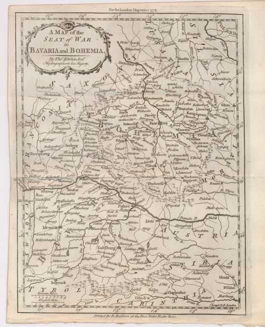
7) A Map of the Seat of War in Bavaria and Bohemia (7.5 x 9.6")
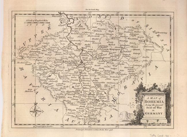
8) A Map of Bohemia being the present Seat of War in Germany (9 x 6.5")
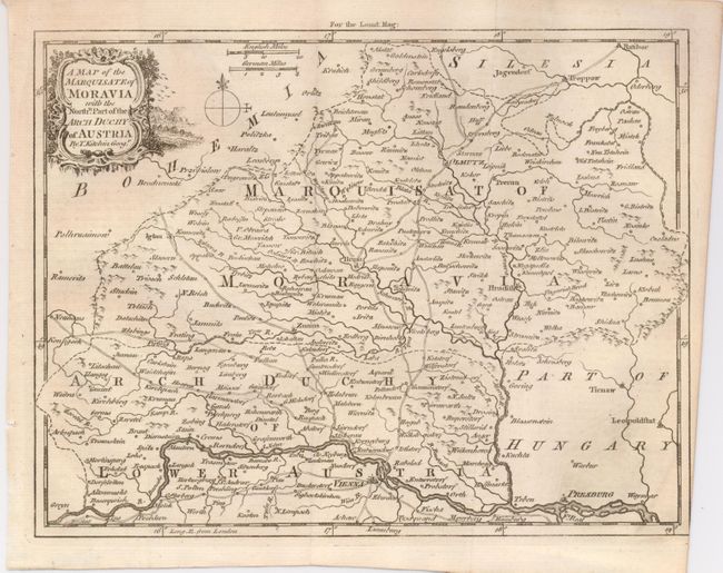
9) A Map of the Marquisate of Moravia, with the Northn. Part of the Arch Duchy of Austria (9.3 x 7.2")
References: Jolly LOND-110, 117, 118, 121, 124, 127, 128, 137, and 325.
Condition: A
All clean and bright with minor toning or offsetting to a few maps.