Catalog Archive
Auction 127, Lot 423
"Carte du Bresil, Prem. Partie Depuis la Riviere des Amazones jusqu'a la Baye de Tous les Saints", Bellin, Jacques Nicolas
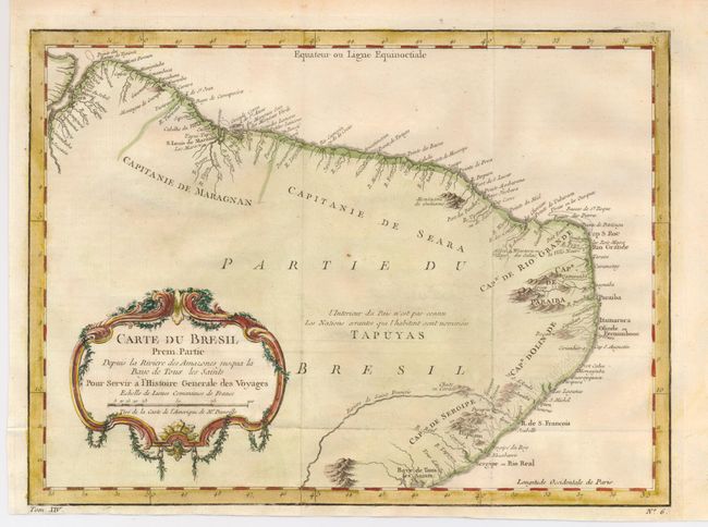
Subject: Brazil
Period: 1770 (circa)
Publication: Prevost's Histoire Generale des Voyages
Color: Hand Color
Size:
12.8 x 9.5 inches
32.5 x 24.1 cm
Download High Resolution Image
(or just click on image to launch the Zoom viewer)
(or just click on image to launch the Zoom viewer)