Catalog Archive
Auction 127, Lot 404

"Carte de l'Isle de la Martinique", Bellin, Jacques Nicolas
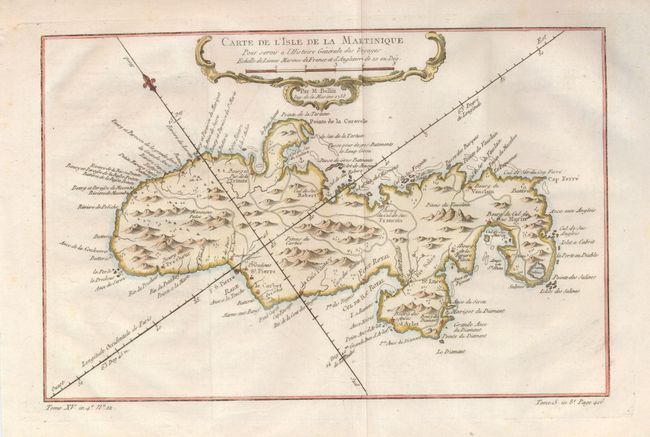
Subject: Martinique

Period: 1758 (dated)

Publication: l' Histoire Generale des Voyages

Color: Hand Color

Size:
11.9 x 7.8 inches
30.2 x 19.8 cm
Download High Resolution Image
(or just click on image to launch the Zoom viewer)

Delicately detailed map of the island showing mountains, roads, towns, forts, anchorages and dozens of place names. Exhibiting fine coastal detail, the chart locates Sac Marin, Bourg de la Rivieree Pilote, Se. Luce, Fort Royal, Fort S. Pierre, the Pitons du Vauclain, roads, watershed, graphic topography, shoals and anchorages. Decorated with a rococo-style cartouche and fleur-de-lys incorporating a distance scale, fully hand colored.

References:

Condition: A

On a very thin sheet of hand laid paper with wide margins. A little toning at edge of right margin and a printer's crease across lower border, still very good.

Estimate: $150 - $180

Sold for: $110

Closed on 2/25/2009

Archived