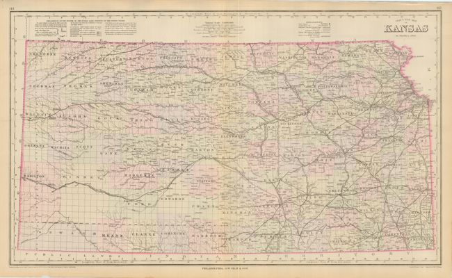
Subject: Kansas
Period: 1881 (dated)
Publication: The National Atlas
Color: Hand Color
Size:
27 x 16 inches
68.6 x 40.6 cm
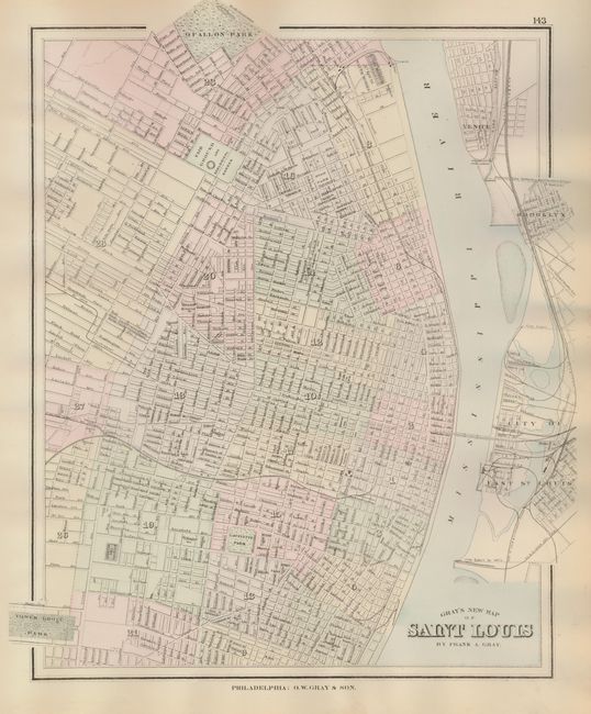
Large, double page map with good detail including all counties, numerous named railroads including narrow gauge, villages, watershed, post offices, forts, and more. Details the survey progress to date, however many western counties are completely void of any development. Railroads end at Anthony, Kiowa, Oberlin, Lenora, Mankota, Zahnville and Bulls City. At top is an "Explanation of the System of the Public Land Surveys…" On verso are full-page maps of Nebraska and a fine plan of St. Louis. Handsome coloring in pastel tones.
References:
Condition: B+
Map impression and color are fine less slight centerfold toning. A small chip in lower margin and a short tear.