Catalog Archive
Auction 127, Lot 235

"Map Showing the Routes of Trans-Continental Railways as Explored and as Constructed", U.S. Government

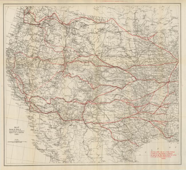
Subject: Western United States

Period: 1883 (dated)

Publication:

Color: Printed Color

Size:
25 x 23 inches
63.5 x 58.4 cm
Download High Resolution Image
(or just click on image to launch the Zoom viewer)

A very detailed map of the western two-thirds of the United States that shows the actual route of the Pacific Railroad "as explored and as constructed" in 1883. Red overprinting displays the route according to the survey presented to then Secretary of War, Jefferson Davis in 1855 as described in a note printed in red at lower right. The map shows very little deviation from the original surveys, thus validating the courageous efforts of the U.S. Army officers and soldiers who were given this monumental task.

References:

Condition: A

Folding as issued with a couple lazy fold creases. Near fine example less a hint of toning at some folds.

Estimate: $150 - $190

Sold for: $110

Closed on 2/25/2009

Archived