Subject: South-central United States
Period: 1886-96 (dated)
Publication:
Color: Printed Color
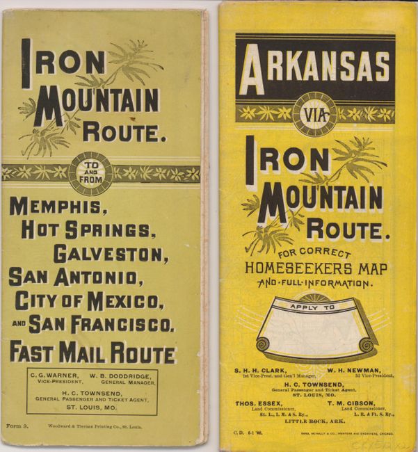
Two great folding timetable/maps of the Iron Mountain Route. Both have fine maps on one side, time table and information on the verso. They fold with self covers and contain advertising including "Pullman cars." Lot includes:
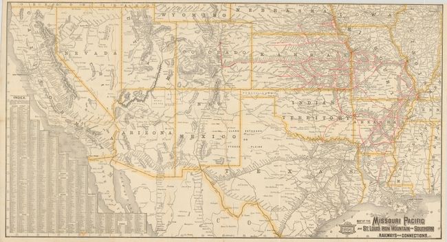
1) Woodward & Tierman Printing Co., St. Louis, 1896, (30.3 x 16.5"). The Southwest from Mississippi and centered on Texas, red indicates the rail lines and stations run as far west as Denver. The map extends to include California, Arizona and New Mexico. Small fold intersections splits and some edge fold splits in margin. (B+)
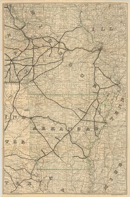
2) Rand McNally, Chicago, 1886, (22.3 x 34.5"). Timetable/land promotion foldout with large map on the verso showing all of Missouri and Arkansas and parts of the surrounding states. This larger map is very detailed with railways delineated and all stations named. On verso marketing text includes "Free Reclining Chair Cars" and more related to land. Small intersection holes. References:
Condition:
See descriptions.