Subject: South-central United States
Period: 1844-53 (dated)
Publication:
Color: Hand Color
Size:
10.5 x 17.4 inches
26.7 x 44.2 cm
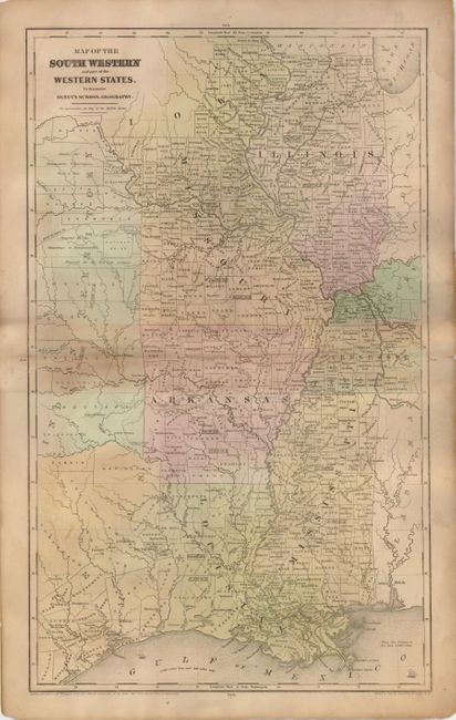
1) From Olney's School Geography, D.F. Robinson & Co., 1844, 10.5" x 17.4", hand color. Centered on Arkansas, the map includes Mississippi, Louisiana, Missouri, Illinois, with parts of Indian Territory and the Republic of Texas. The huge Indian Territory extends at least as far as Iowa. Wide band of toning along centerfold. (B)
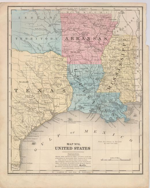
2) Daniel Burgess, 1853, 8.5" x 10.5", hand color. Centered on Louisiana, the map includes Arkansas and Mississippi, and parts of Texas and Indian Territory. Population is given for each state. Good detail of roads, railroads, cities and villages, etc. Blank verso. Good color and full margins except for upper right corner which is missing a little paper well outside of map border. (A)
References:
Condition:
See description.