Catalog Archive
Auction 127, Lot 145

"Gli Stati Uniti dell'America Delineati sulle ultime Osservazioni - Sesto Foglio che comprende Parte Della Carolina Ed Inoltre l'Isola di Terra Nuova Colle Altre Isole del Golfo di S. Lorenzo", Cassini, Giovanni Maria

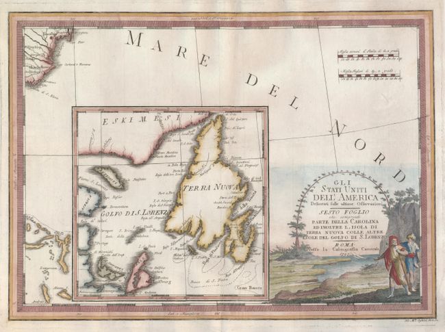
Subject: Canada and United States

Period: 1797 (dated)

Publication: Nuovo Atlante Geografico Universale

Color: Hand Color

Size:
19 x 13.5 inches
48.3 x 34.3 cm
Download High Resolution Image
(or just click on image to launch the Zoom viewer)

A very large inset is the primary focus of this decorative and unusual chart. The inset map covers the Gulf of St. Lawrence and Newfoundland with the Gran Banco located. It is set on the background map of the Atlantic Ocean that shows part of the coastline of South and North Carolina at upper left, naming Charlestown and Cape Fear, and part of the Bahamas at lower left. The entire lower right quadrant is filled with a pictorial cartouche. Two distance scales in upper right use Italian and English miles. This most uncommon Italian produced map published from Rome has two illustrations in Kershaw, Volume II pages 240 and 241.

References: Kershaw #617.

Condition: B+

Repaired splits and tears on verso expertly accomplished with addition of tissue backing. Nice color and dark impression.

Estimate: $475 - $550

Unsold

Closed on 2/25/2009

Archived