Catalog Archive
Auction 126, Lot 721
"Carte des Indes en de ca et au dela du Gange, avec les Isles de la Sonde, Borneo, les Moluques et les Philippines: Partie Occidentale", Bonne, Rigobert
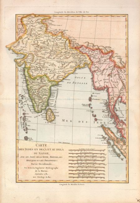
Subject: Southern Asia
Period: 1781 (dated)
Publication: Atlas Portatif
Color: Hand Color
Size:
8.4 x 12.5 inches
21.3 x 31.8 cm
Download High Resolution Image
(or just click on image to launch the Zoom viewer)
(or just click on image to launch the Zoom viewer)