Catalog Archive
Auction 126, Lot 590
"Nieuwe Kaart van Muskovie of Rusland…", Tirion, Isaac
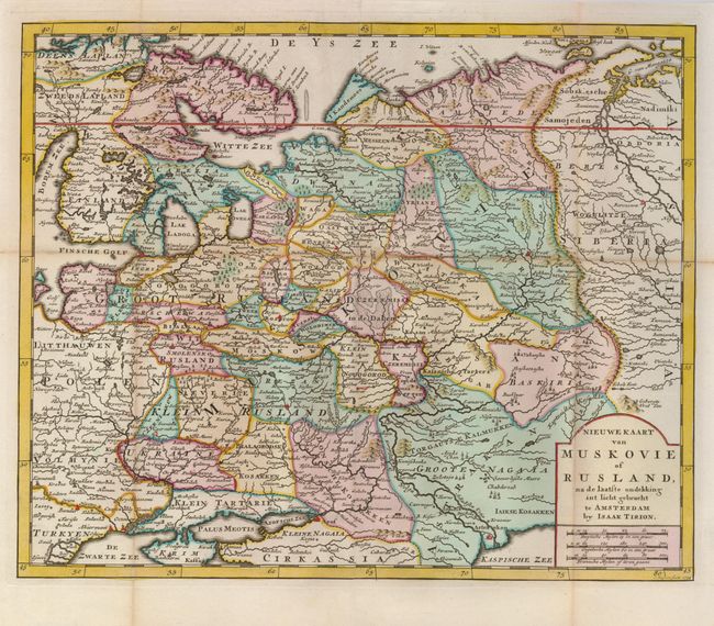
Subject: Russia
Period: 1734 (dated)
Publication:
Color: Hand Color
Size:
13.5 x 11.2 inches
34.3 x 28.4 cm
Download High Resolution Image
(or just click on image to launch the Zoom viewer)
(or just click on image to launch the Zoom viewer)