Catalog Archive
Auction 126, Lot 586

"A New Map of Turkey in Europe Divided into all its Provinces, with Adjacent Countries in Europe and Asia", Laurie & Whittle

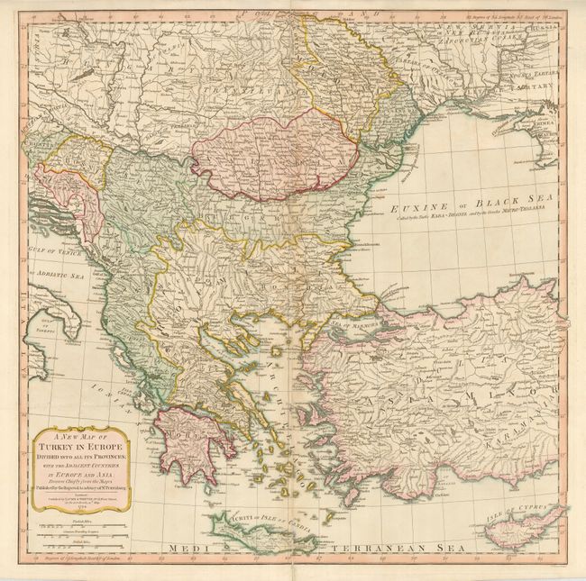
Subject: Southeastern Europe

Period: 1794 (dated)

Publication: Imperial Sheet Atlas

Color: Hand Color

Size:
23.8 x 23.8 inches
60.5 x 60.5 cm
Download High Resolution Image
(or just click on image to launch the Zoom viewer)

This sharply engraved map is based on information from the Imperial Academy of St. Petersburg. It details the area from southern Hungary through the Balkan countries and Greece to include all of Crete. It also shows much of Turkey, Cyprus, and part of the Black Sea. The Greek Archipelago is especially well-detailed. Engraved by F. Vivares.

References:

Condition: B+

Good impression and original color. There is an old repair on the centerfold, else very good.

Estimate: $200 - $250

Unsold

Closed on 12/3/2008

Archived