Catalog Archive
Auction 126, Lot 552
"Palatinatus Bavariae", Blaeu, Willem
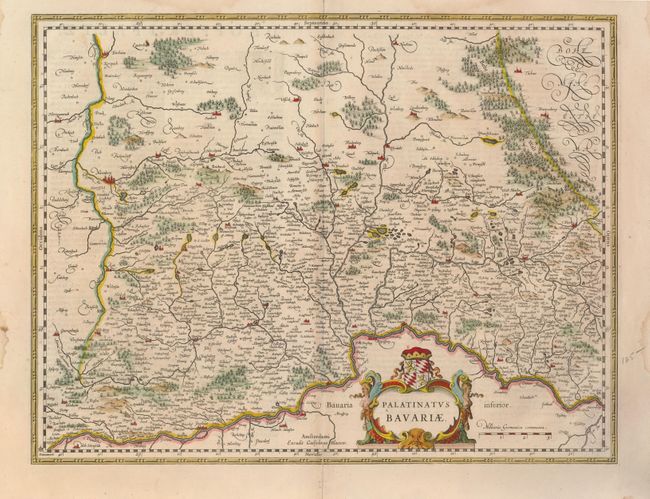
Subject: Germany
Period: 1640 (circa)
Publication:
Color: Hand Color
Size:
19.5 x 14.5 inches
49.5 x 36.8 cm
Download High Resolution Image
(or just click on image to launch the Zoom viewer)
(or just click on image to launch the Zoom viewer)