Catalog Archive
Auction 126, Lot 527

"Delphinatus vulgo Dauphine avec ses Confins des Pais et Provinces Voisines, par Jean de Beins", Blaeu, (Family)
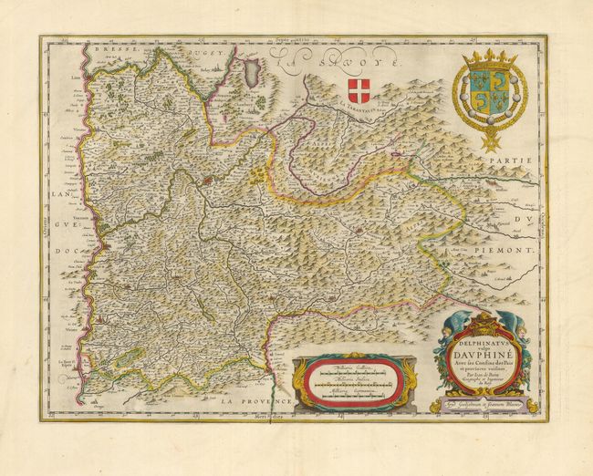
Subject: France

Period: 1640 (circa)

Publication:

Color: Hand Color

Size:
19.8 x 15 inches
50.3 x 38.1 cm
Download High Resolution Image
(or just click on image to launch the Zoom viewer)

This decorative and finely detailed regional map of the Rhone-Alpes region covers the region east of the Rhone River to about the Italian border. The map was drawn by the French royal geographer, Jean de Beins. It illustrates the mountainous topography and locates fortified cities, villages, and monasteries. It is embellished with two coats of arms and two beautiful cartouches. Latin text on verso.

References:

Condition: A+

Fine impression and original color with wide original margins. The bottom margin edge is a bit crumpled, still a very fine example.

Estimate: $240 - $300

Sold for: $180

Closed on 12/3/2008

Archived