Catalog Archive
Auction 126, Lot 433

"A Generall Chart for the West Indies According to Mr. Edw: Wrights Projection Commonly Called Mercators Chart", Mount & Page

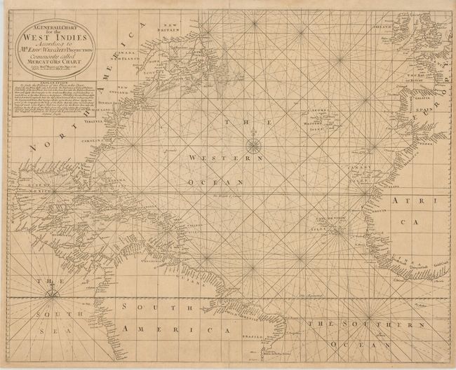
Subject: Atlantic Ocean

Period: 1706 (circa)

Publication:

Color: Black & White

Size:
22.5 x 18 inches
57.2 x 45.7 cm
Download High Resolution Image
(or just click on image to launch the Zoom viewer)

This uncommon sea chart covers most of the Atlantic Ocean but, as noted in the title, it focuses on the West Indies. Place names are located along the coasts on both sides of the Atlantic, and there are some Pacific coasts shown in Central American and northern South America. The chart is centered on a large compass rose. Text below the title cartouche explains how one can calculate the distance between two places on the map.

References:

Condition: B+

Lightly toned paper. Short separations on the centerfold have old paper repairs on verso.

Estimate: $550 - $650

Sold for: $325

Closed on 12/3/2008

Archived