Subject: United States, Texas & Mexico
Period: 1840-50 (circa)
Publication:
Color:
Nice lot of maps focused on the southwestern part of North America.
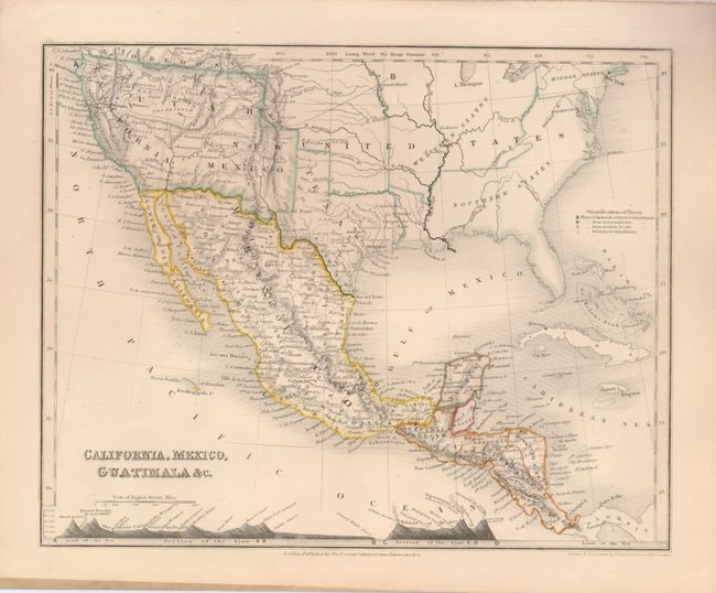
1) California, Mexico, Guatimala &c., John Dower, London, circa 1850, (10.3 x 8"), outline color. This beautifully engraved map features a pre-Gadsden Purchase border between the US and Mexico. The recently minted State of Texas shows an early border with extended panhandle. The southwest is divided among California, Utah and New Mexico. There is good detail for its time of the topography and watershed. Extends to include all of Central America and Cuba. Cross-section along the bottom shows elevation of major mountains and volcanoes. Published by Orr & Company.
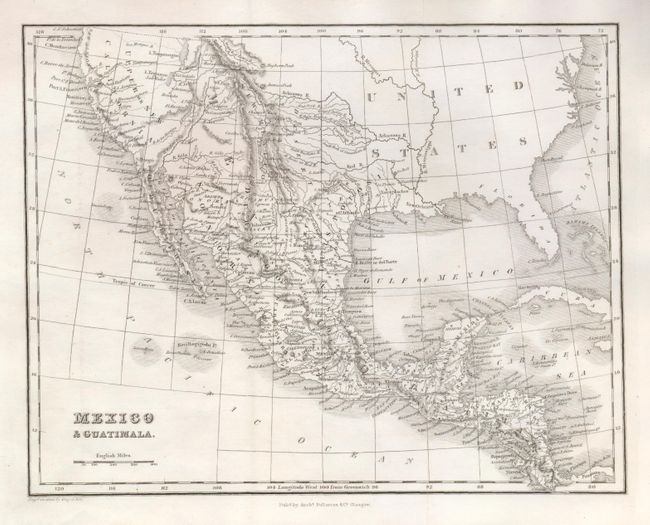
2) Mexico & Guatimala, by Archibald Fullarton & Co., Glasgow, circa 1840, (9.6 x 7.5"). This map appears to feature the Independent Republic of Texas but it is also labeled "San Luis Potosi" confusing the issue somewhat. Mexico controls the Southwest which is named Upper or New California. The Baja is Old California.
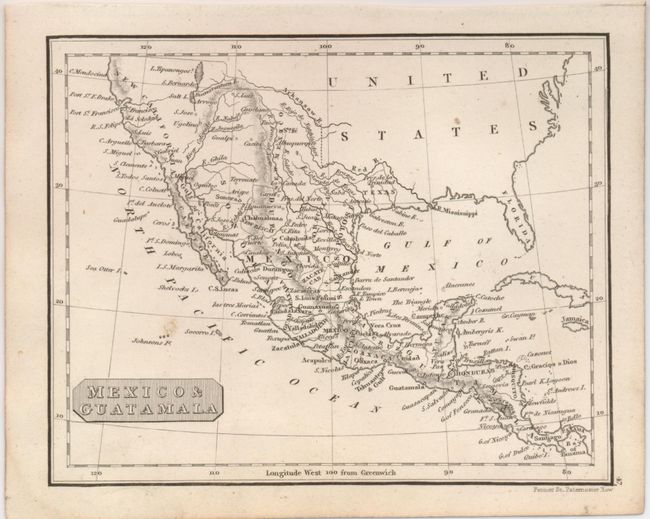
3) Mexico & Guatamala, engraved by Fenner, London, circa 1840, (5.6 x 4.5"). Similar to the above map, this one features the Independent Republic of Texas. Mexico is in control of the Southwest, which is named New California, and New Mexico, and Baja is simply labeled California.
References:
Condition: A
Each is a very good example.