Catalog Archive
Auction 126, Lot 296
"[Cape Cod]", Walling & Gray
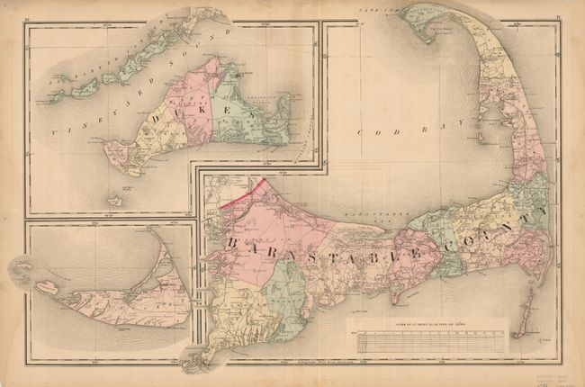
Subject: Massachusetts
Period: 1871 (circa)
Publication: Official Topographical Atlas of Massachusetts
Color: Hand Color
Size:
23.5 x 15 inches
59.7 x 38.1 cm
Download High Resolution Image
(or just click on image to launch the Zoom viewer)
(or just click on image to launch the Zoom viewer)