Catalog Archive
Auction 126, Lot 158

"United States", Arrowsmith, John

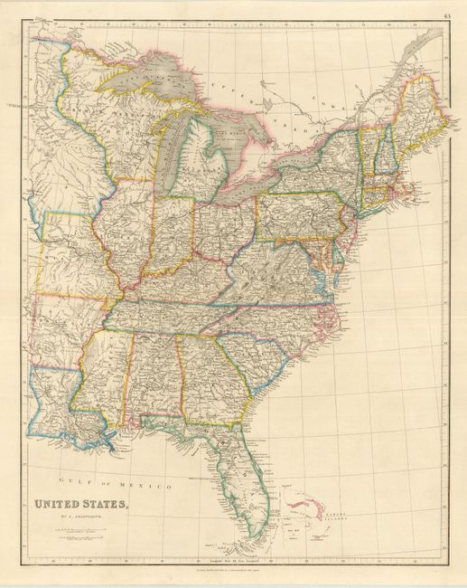
Subject: Eastern United States

Period: 1842 (dated)

Publication: The London Atlas of Universal Geography

Color: Hand Color

Size:
18.8 x 23.5 inches
47.8 x 59.7 cm
Download High Resolution Image
(or just click on image to launch the Zoom viewer)

This is a very detailed map of the eastern states. North W. Territory or Huron takes in present-day Wisconsin, part of Minnesota, and the Upper Peninsula of present-day Michigan. West of the Mississippi River there are the states of Louisiana, Arkansas and Missouri with the region north of that shown in the possession of the Sioux. The map is filled with fine details of roads and early railways.

References:

Condition: A+

Sharp impression and original outline color with wide original margins.

Estimate: $250 - $300

Sold for: $190

Closed on 12/3/2008

Archived