Catalog Archive
Auction 125, Lot 949

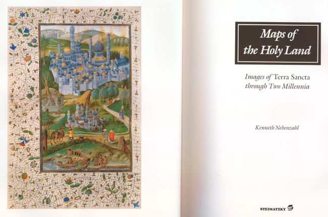
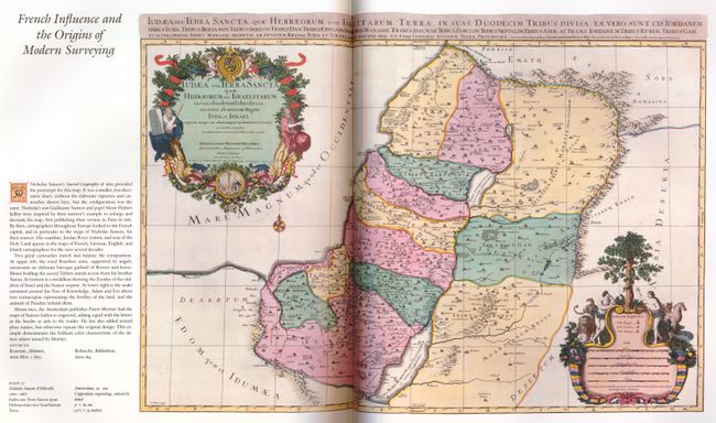
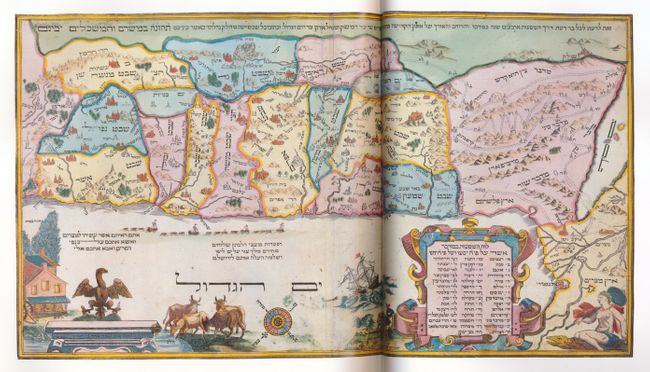
"Maps of the Holy Land - Images of Terra Sancta through Two Millennia", Nebenzahl, Kenneth

Subject: Reference Books

Period: 1986 (published)

Publication: Abbeville Press

Color:

Size:
12 x 15.5 inches
30.5 x 39.4 cm
Download High Resolution Image
(or just click on image to launch the Zoom viewer)

This book includes the most historically significant and beautiful Holy Land maps, including rare treasures of manuscript illumination and masterpieces of early printing. Lavishly illustrated with approximately 80 colored maps, many of which are double-page and triple-page foldouts. The author, a recognized authority on antique maps, presents maps from European, Byzantine, Arabic and Persian sources, each finely reprinted with useful descriptions. This important contribution, based on many years of research, is a pleasure to read. 164 pp. Hardbound in black embossed cloth with dust jacket in protective sleeve.

References:

Condition: A

Estimate: $75 - $100

Sold for: $50

Closed on 9/24/2008

Archived