Catalog Archive
Auction 125, Lot 936

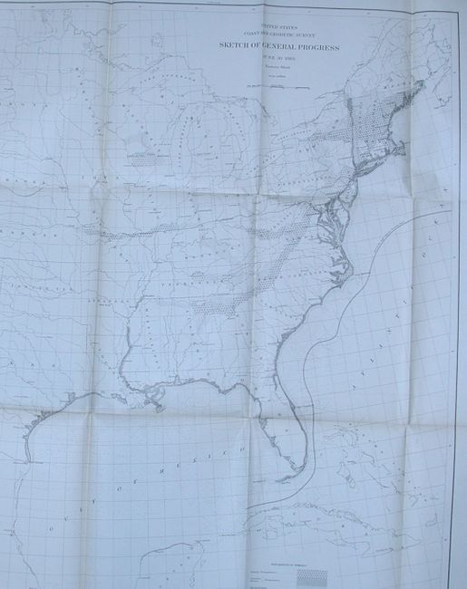
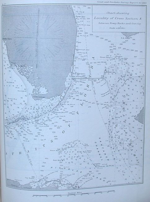
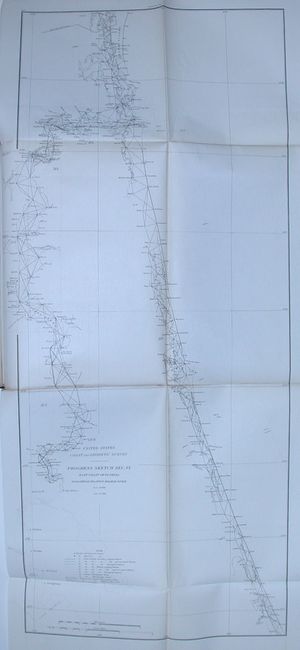
"Report of the Superintendent of the U. S. Coast and Geodetic Survey Showing the Progress of the Work during the Fiscal Year Ending with June, 1885", U.S. Coast & Geodetic Survey

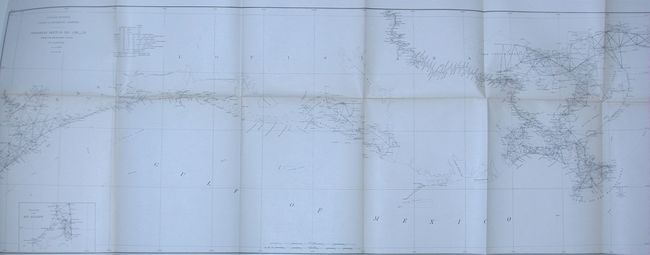
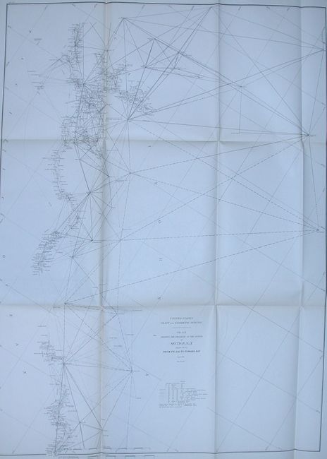
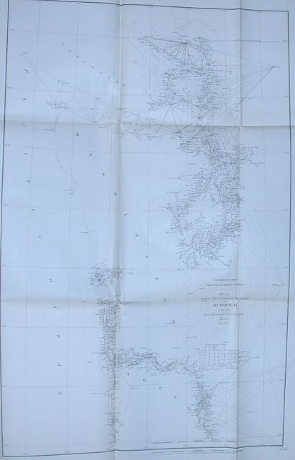
Subject: Exploration and Surveys, United States

Period: 1886 (published)

Publication:

Color: Black & White

Size:
10 x 11.5 inches
25.4 x 29.2 cm
Download High Resolution Image
(or just click on image to launch the Zoom viewer)

This volume contains a report of field operations for the year, 18 appendices and 18 folded charts. Appendix 14 is a report on deep sea work along the Gulf Stream, with two one-page charts (Straits of Florida and Key Biscayne Bay). Folding progress maps include: East Coast of Florida from Amelia Island to Halifax River; West Coast of Florida from Cape Sable to Charlotte Harbor; Coast of Mississippi, Louisiana, and Texas; Coast of California from Point Sal to Tomales Bay; and from Tomales Bay to the Oregon line; Coast of Oregon and Washington Territory from Tillamook Bay to the Boundary, and 12 more.

References:

Condition: B+

Estimate: $140 - $180

Sold for: $75

Closed on 9/24/2008

Archived