Subject: Geography Books
Period: 1845 (published)
Publication:
Color: Printed Color
Size:
9.5 x 12.5 inches
24.1 x 31.8 cm
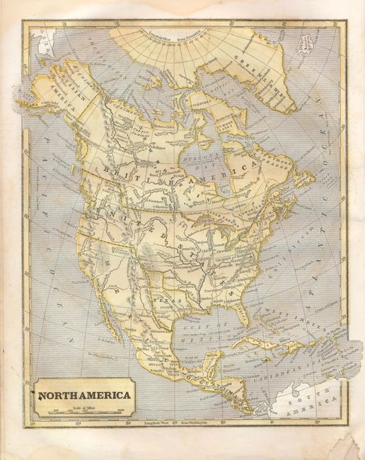
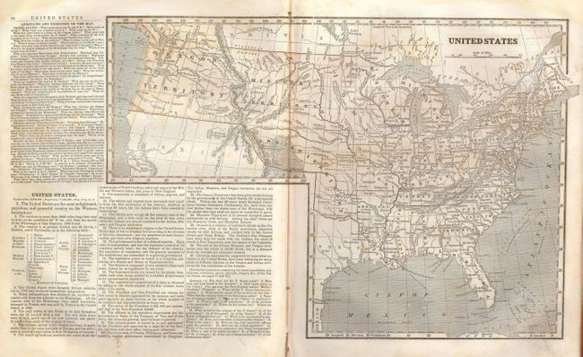
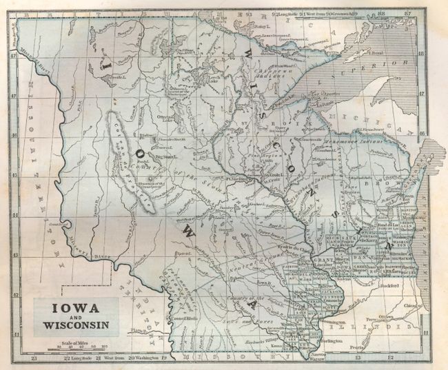
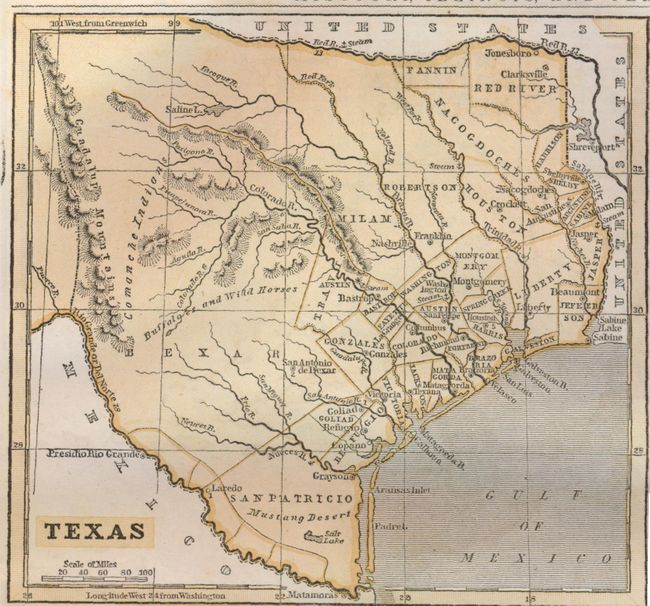
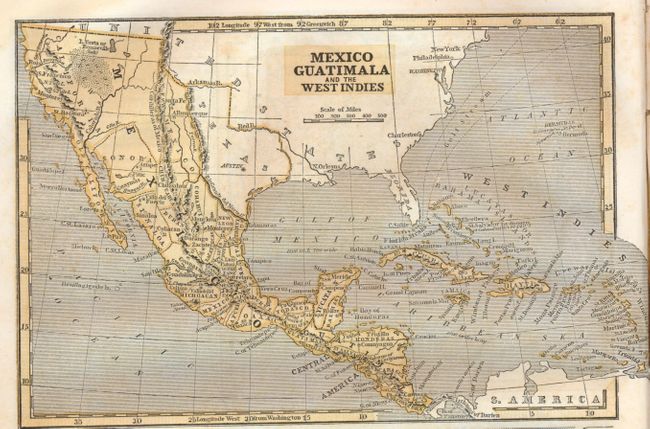
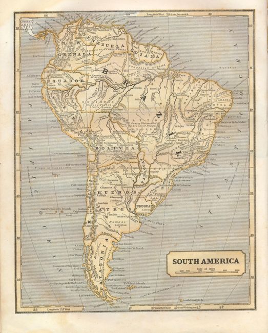
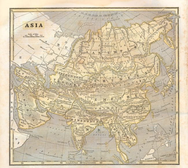
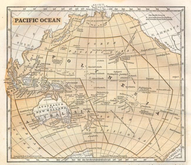
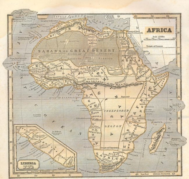
Morse's popular series of geographies, with their easy to read maps and fact-filled text, quickly became a standard for American educators during the early 19th century. This edition contains more than 50 cerographic maps including a double-page map of the United States that features a large Indian Territory that stretches as far west as the Rocky Mountains, and a large Territory of Iowa that includes most of Minnesota and the Dakotas. Another nice map is the North America, which shows an Independent Texas in an unusual shape. 4to. 72 pages. Complete. Hardbound in original decorative paper covered boards with a black paper spine.
References:
Condition: B
Maps generally good with some light damp stains at top and bottom and some minor offsetting. Text with occasional foxing and minor loss along bottom gutter. Lacking the normal notations in school geographies, except for a publisher's dedication to the original owner on the front endpaper. Covers are a bit shelf worn but cleaner than most school geographies. Spine is well worn with slight loss at bottom.