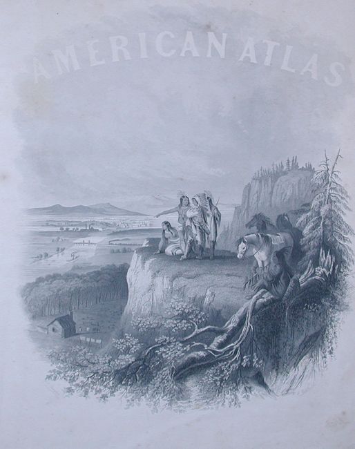
Subject: Atlases
Period: 1863 (dated)
Publication:
Color: Hand Color
Size:
15 x 18.5 inches
38.1 x 47 cm
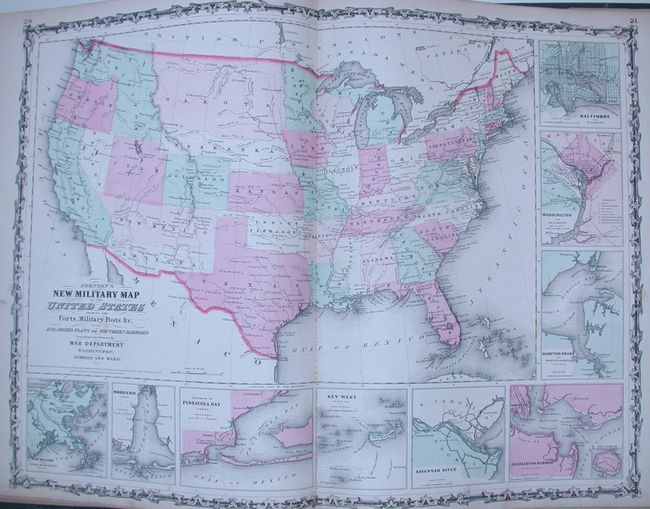
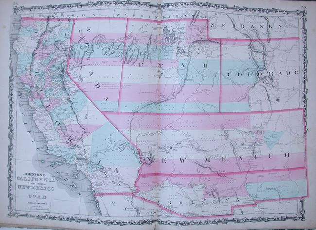
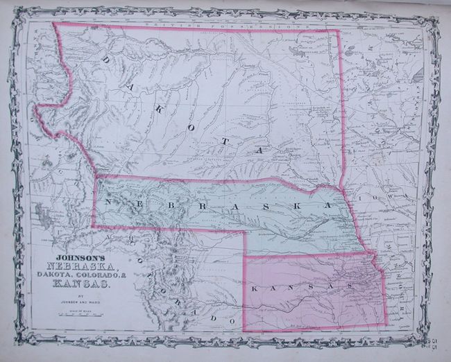
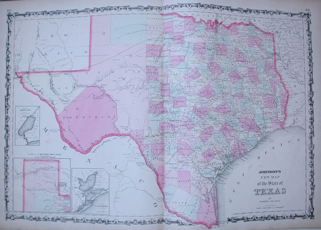
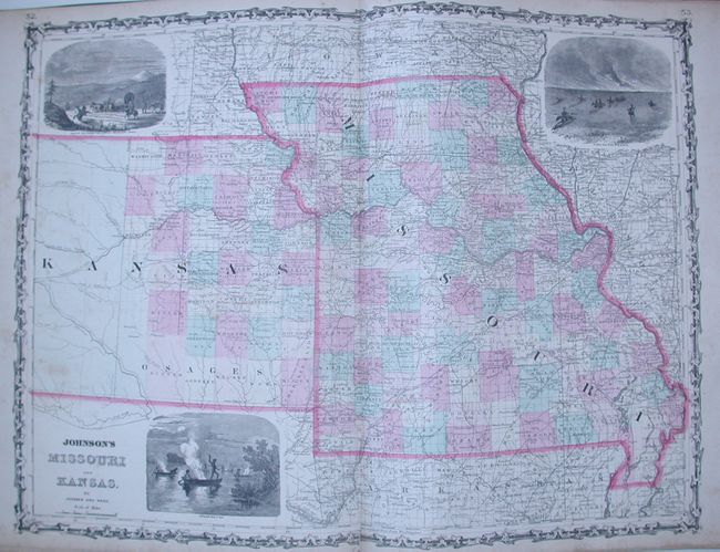
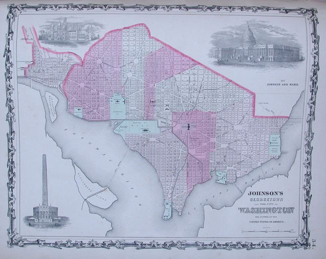
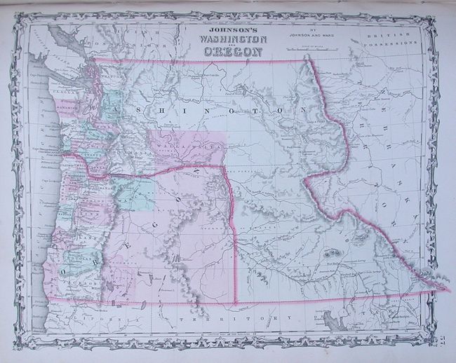
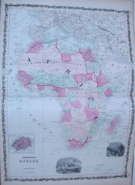
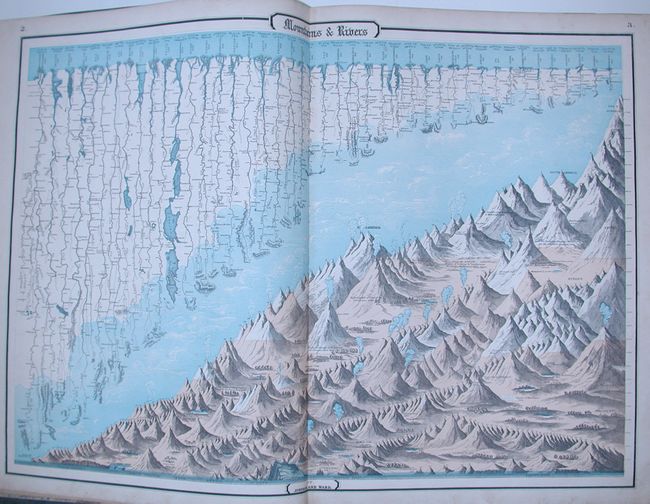
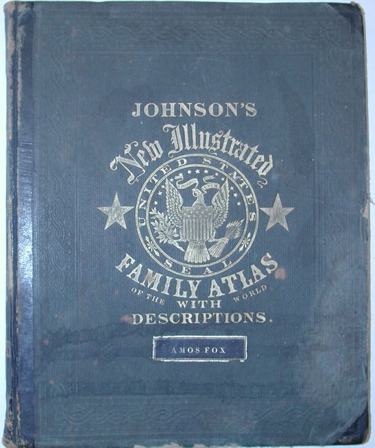
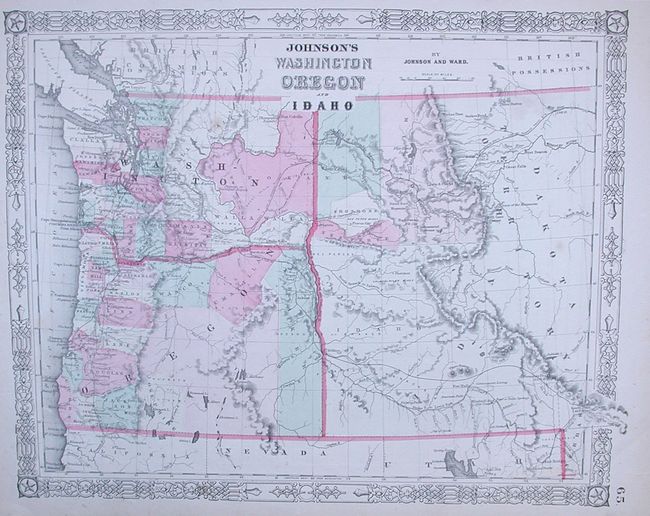
This complete transitional atlas contains 59 beautifully rendered, steel engraved maps with hand color and bright, crisp impressions. There are several thematic maps and diagrams interspersed throughout the text that display the geology, weather, tides, agriculture and animal kingdoms of the world. The maps include 28 single page and 31 double page maps. This 1863 edition is the last year with steel engraved plates and the version in which many of the maps feature vignettes. All maps have the early strap work style borders. This atlas also features the New Military Map of the United States. This is the more desirable military map as it shows all state and territory boundaries rather than the limits of military divisions. The Southwest map shows Arrizona in the southern part of New Mexico Territory. This is thought to represent the Confederate Territory of Arizona that existed for nearly a year from August 1861 until July of 1862. The Confederate General Baylor appointed himself the territorial governor and claimed all of New Mexico Territory south of the 34th parallel. In the southern part of Arizona is the "Gadsden Ten Million Purchase of Mexico." The Utah/Nevada border follows the 116th meridian. Filled with historical notes and two interesting notations. One note in the area of Quartzite, Arizona refers to the area as being "exceedingly fertile and abundantly timbered and well watered." Details the U.S. Mail routes, the Emigrant road to California, the proposed railroad route through Utah, Nevada and California, and the Pony Express trail. A fine double page map of Texas and the uncommon map of the northwest showing Washington in its transitional configuration as an inverted "L" prior to the formation of Idaho Territory. Nebraska is shown with the long panhandle extending westward into today's Wyoming. Folio. Original hardbound in quarter leather and green cloth. Gilt titles on cover and spine. Laying in loose at front is a bonus map: "Johnson's Washington Oregon and Idaho" is circa 1864 and shows the newly created Idaho in an indistinct configuration with only three counties shown in the north. (A) Complete atlas with some desirable maps.
References:
Condition: B+
The maps are generally quite nice, most varying from very good to fine. The Cuba and Japan map have light burns from a document stored against them. Ohio has a split at bottom centerfold with some general soiling or foxing. Covers are rubbed, frayed, bumped and warped; they should be rebound. Original owner's name on cover in gilt leather label.