Subject: Atlases
Period: 1836 (dated)
Publication:
Color: Hand Color
Size:
8.5 x 10.2 inches
21.6 x 25.9 cm
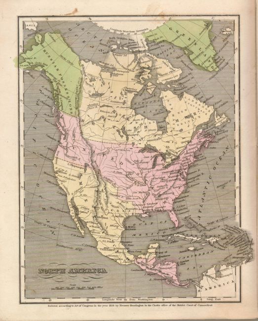
The United States and Great Britain established in 1818 joint claim over the Oregon Territory - the region north of Spanish controlled Upper California up to the southern boundary of Russia's Alaska Territory at North latitude 54°40'. By the late 1830's this arrangement was beginning to fall apart.
In the 1840's the expansionist Democrats, including their 1844 presidential candidate, James Polk, claimed the entire region for the United States. Their expansionist desires were expressed by Polk's famous campaign slogan, "Fifty-four Forty or Fight!" The slogan also became a rally cry for Americans desiring to settle the territory. Following Polk's election, the dispute was resolved by the 1846 Treaty of Oregon, which struck a compromise that fixed the U.S./Canadian boundary at 49º North.
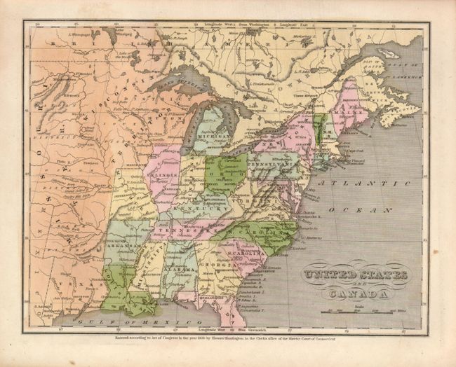
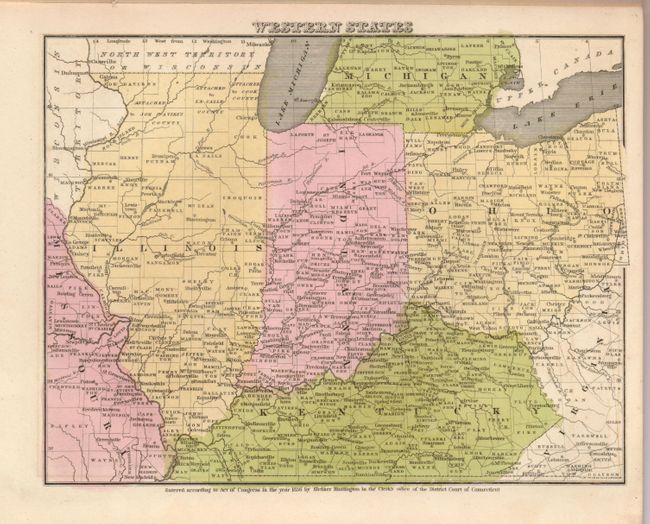
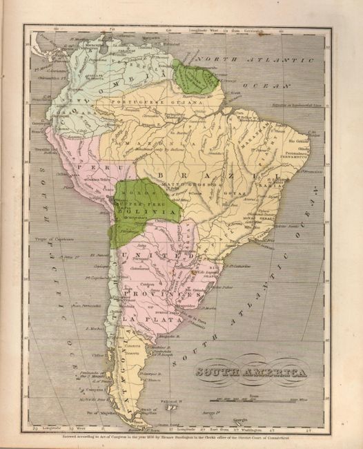
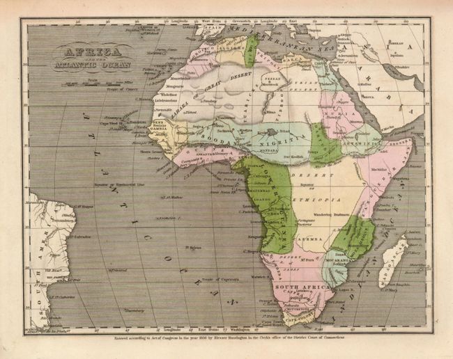
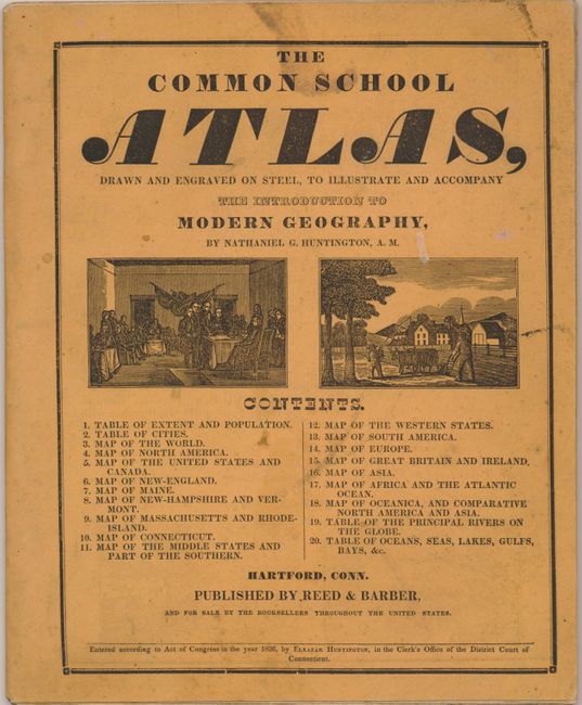
This is a lovely example of the scarce atlas that was used in conjunction with Huntington's Modern Geography. Published by Reed & Barber, it contains sixteen steel engraved maps, all with original hand coloring. The burnt umber paper covers contain the title on front and advertisements on back for other Reed & Barber publications. The maps of North America and the United States show the Independent Republic of Texas. The map of the United States locates Houston, San Felipe, S. Antonio, Viesca, and more. Above Texas, the large Missouri Territory extends to the Wisconsin Territory which includes most of the northern Midwest. Alaska and western Canada are Russian Possessions. The northern border of the Northwest extends fully into Canada to the Russian lands. 4to, 20 pp. Contents; Table of Extent and Populations; Table of the Principle Rivers on the Globe; and Table of Oceans, Seas, Lakes, Gulfs, Bays, &c. All maps blank on verso. A rare and desirable atlas that is complete and in very nice condition.
References: cf Phillips (A) 6077; Rumsey #2022.
Condition: A
An exceptional example of this rarely seen atlas. Save for some light scattered foxing on the paper covers and first page this is a fine example. Interior pages and maps are clean with bright hand coloring, with only an occasional spot or two.