Catalog Archive
Auction 125, Lot 807

"Description de la coste septentrional de Nova Guinea…", Burney, James

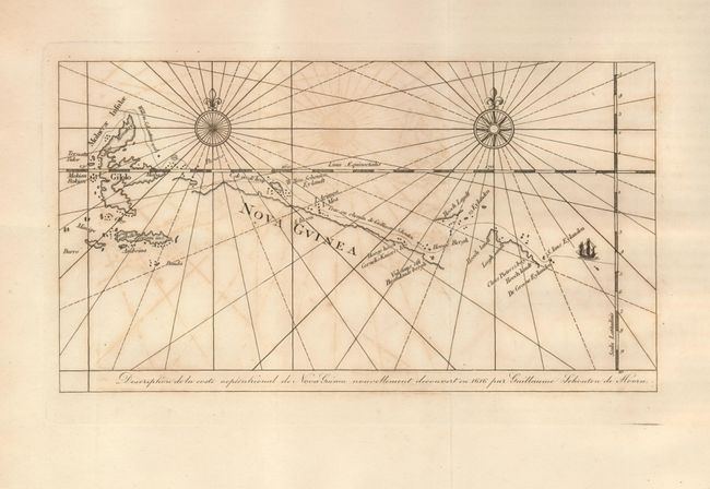
Subject: East Indies - Indonesia

Period: 1803 (published)

Publication: Chronological History of the Discoveries in the South Sea…

Color: Black & White

Size:
10.5 x 5.8 inches
26.7 x 14.7 cm
Download High Resolution Image
(or just click on image to launch the Zoom viewer)

This interesting map shows the route of Willem Cornelisz Schouten and Jacob le Maire along the northern coast of New Guinea and through the Spice Islands. The main purpose of the voyage was to search for Terra Australis, which eluded them, and to discover a new route to the Pacific and the riches of the Spice Islands. They discovered Le Maire Strait and rounded Cape Horn, which Schouten named for his birthplace, the Dutch city of Hoorn. The map is embellished with two compass roses and a tiny ship.

References:

Condition: B+

Folding as issued with some light offsetting and very wide original margins.

Estimate: $120 - $160

Sold for: $90

Closed on 9/24/2008

Archived