Catalog Archive
Auction 125, Lot 753

"Spatiosissimum Imperium Russiae Magnae juxta Recentissimas Observationes Mappa Geographica…", Lotter, Tobias Conrad

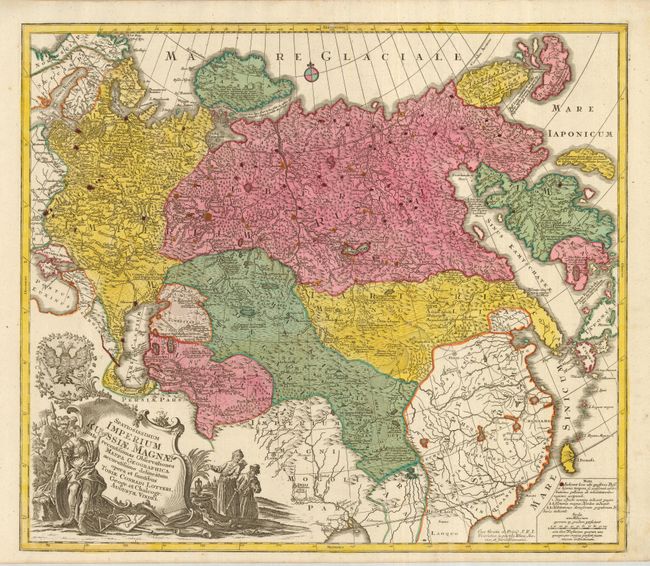
Subject: Russian Empire

Period: 1760 (circa)

Publication:

Color: Hand Color

Size:
22.5 x 19.6 inches
57.2 x 49.8 cm
Download High Resolution Image
(or just click on image to launch the Zoom viewer)

An expansive map depicting the Russian Empire and covering the region from Norway to a portion of Japan, including China, Korea, and the northern part of India. It is filled with place names, and even includes nomadic tent encampments in Mongolia. The Kamchatka Peninsula is presented in a bibulous shape owing to the lack of geographic information about the region. The map is decorated with a cartouche attended by a classical Amazon warrior, two Chinese merchants, and topped with the double headed eagle of the Russian Empire.

References:

Condition: A

Attractive original color with some oxidation of the color used to identify the important cities.

Estimate: $325 - $400

Sold for: $475

Closed on 9/24/2008

Archived