Catalog Archive
Auction 125, Lot 728

"Afbeelding van 't Koningryk Israels, Benevens de door 't zelve Overheerde Landen…", Bachiene, Willem Albert
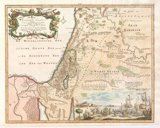
Subject: Holy Land

Period: 1750 (dated)

Publication:

Color: Hand Color

Size:
19 x 15.25 inches
48.3 x 38.7 cm
Download High Resolution Image
(or just click on image to launch the Zoom viewer)

This fine map shows the Kingdom of Israel during the rule of the Kings Saul, David and Solomon. It depicts Palestine on both sides of the Jordan River and the Mediterranean coastline from the Orontes River to the Nile Delta. The splendid scene at bottom depicts the riches brought from Tarshish for King Solomon by the navy of Hiram. The map was engraved by Jan van Jagen and published in a Dutch Bible by Nicolas Goetzee.

References: Laor #71; Poortman & Augusteijn #182.

Condition: A

Estimate: $200 - $275

Sold for: $180

Closed on 9/24/2008

Archived