Catalog Archive
Auction 125, Lot 721
"[Holy Land]", Munster, Sebastian
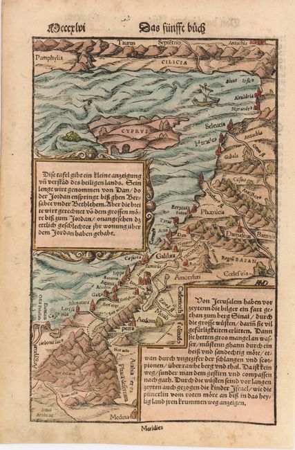
Subject: Holy Land
Period: 1560 (circa)
Publication:
Color: Hand Color
Size:
6.8 x 10.3 inches
17.3 x 26.2 cm
Download High Resolution Image
(or just click on image to launch the Zoom viewer)
(or just click on image to launch the Zoom viewer)