Subject: Germany
Period: 1680 (circa)
Publication: Atlas Major
Color: Hand Color
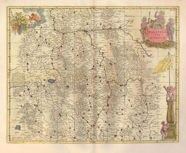
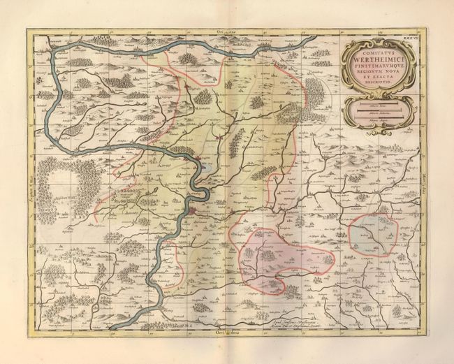
These two maps are from Moses Pitt's ill-fated and uncompleted atlas. The plates were originally engraved by Jan Jansson. After his death they were inherited by his son-in-law, known as Jansson-Waesberg, who published them in conjunction with Moses Pitt. The atlas was projected to be a 12-volume work in the tradition of the earlier Dutch atlases. Only four volumes were completed before the venture failed and Pitt was thrown into debtor's prison.
1) Palatinatus ad Rhenum (20 x 15.8") is a fine map centered on the Rhine River valley. The map emphasizes the castellated cities with a particularly impressive line of fortifications between Nierstein and Bensheim.
2) Comitatus Wertheimici Finitimarumque Regionum Nova et Exacta Descriptio (19.5 x 15") is a lovely map of the Baden-Wurttemberg region centered on Wertheim.
References:
Condition: B+
Both clean and crisp with later color and wide original margins. The second map has a tear in the bottom margin, well away from the map.